EIA’s U.S. Energy Mapping System is now Accessible on all Mobile Devices
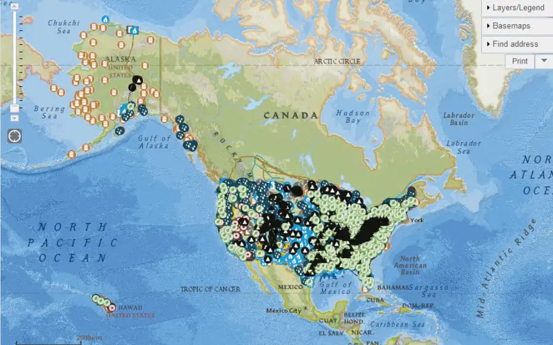
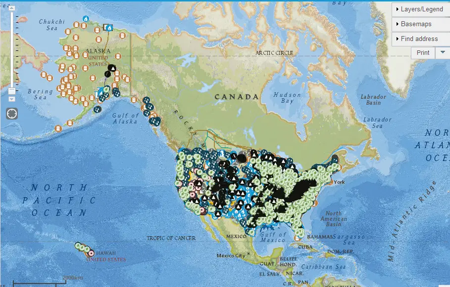
U.S. Energy Mapping System
With the 2014 hurricane season now underway, the U.S. Energy Information Administration (EIA) is making it possible for the public to track from all types of mobile devices and tablets the power plants, oil refineries, major electric transmission lines, and other critical energy infrastructure that are in the path of upcoming storms and significant weather events.
From any touchscreen anywhere and at any time, users can now easily access the latest information from two important EIA tools: the U.S. Energy Mapping System and the Energy Disruptions web page.
The National Oceanographic and Atmospheric Administration (NOAA) projects a 70% probability that there will be between 8 and 13 named storms from June to November 2014, of which 3-6 will strengthen to hurricanes, with 1-2 becoming major hurricanes. EIA’s interactive Energy Disruptions web page provides real-time data feeds from NOAA’s National Hurricane Center, including the projected path and intensity of tropical storms and hurricanes, enabling users to assess the overlap between storm tracks and more than 40 map layers showing the location of energy infrastructure.
“EIA’s U.S. Energy Mapping System not only informs the public about energy infrastructure, it’s also a useful tool for state and local officials who must deal with significant weather events,” said EIA Administrator Adam Sieminski. “Making these resources accessible on mobile devices is one way that EIA can help emergency response officials and the public readily assess the potential impacts of significant weather events on energy infrastructure in the United States.”
You can view EIA’s U.S. Energy Mapping Systems at http://www.eia.gov/state/maps.cfm and its Energy Disruptions web page at http://www.eia.gov/special/disruptions/