Hands-On Drone-to-GIS Workflows
Sponsored by the Michigan State University Institute of Agricultural Technology, in coordination with RS&GIS and Northwest Michigan College.
 This unique and comprehensive, instructor-led training course is taught by experts in the fields of Aviation and GIS. Participants will learn how to effectively and legally deploy drones and process imagery data for real-world applications. Participants will leave the course with a clear understanding of the Drone-to-GIS workflow, including becoming a Remote Pilot-in-Command, planning and completing missions and analyzing the resultant data. During the course, participants will complete the following:
- Learn the current FAA regulations for UAS operation and the requirements for obtaining an FAA Remote Pilot Certificate
- Plan autonomous drone missions using inexpensive, yet powerful planning software
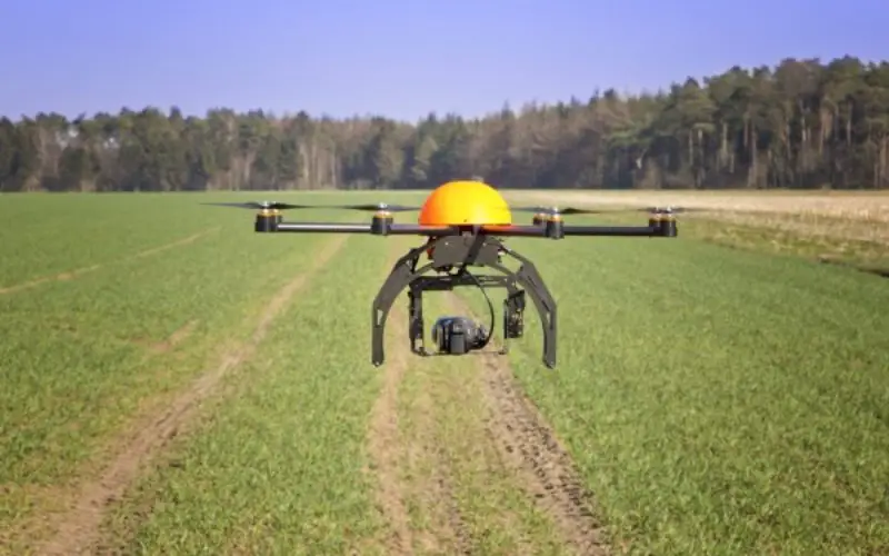
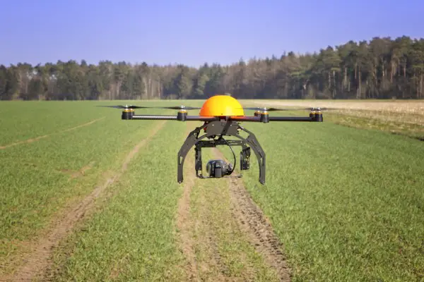
- Fly multi-rotor drones, as well as observe autonomous missions
- Learn how to process imagery into usable products, such as image mosaics, surface models and indices using Pix4D software
- Learn the basics of visible and near-infrared (VNIR) remote sensing, ground control data collection, photogrammetric principles and more
- Examine drone imagery and surface model data along with existing publicly available GIS data using freeware (QGIS and QT Reader) and commercial GIS software (ArcGIS)
Prerequisite: No prior experience required.
Duration: 03 Days
Fee: $1,500
Schedule:
- East Lansing
- Traverse City
Read more at http://www.rsgis.msu.edu/education/workshop_descriptions.php