DARPA Seeks to Harness Commercially Available Geospatial Imagery for Defense Analysis
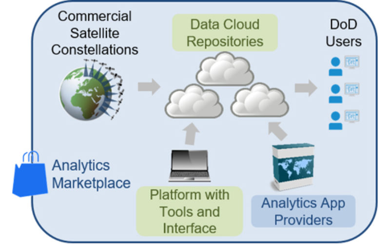
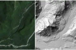
According to recent news published on DARPA.mil, DARPA’s new Geospatial Cloud Analytics (GCA) program seeks to enable instant access to the most up-to-date images anywhere in the world, as well as cutting-edge tools to analyze them. It would achieve this capability by virtually aggregating vast amounts of commercial and open-source satellite data that is available in multiple modes—optical, synthetic aperture radar (SAR), and radio frequency (RF)—in a common cloud-based repository with automated curation tools.
The platform and tools would provide DoD geospatial analysts global situational awareness, event detection, monitoring, and tracking capabilities beneficial to U.S. forces around the world.
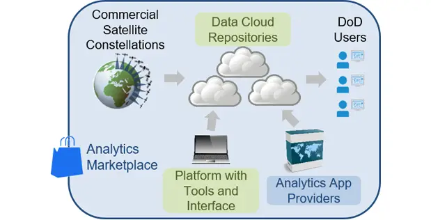
DARPA seeks to create scalable cloud-based repository of global satellite data accessible via common interfaces, and pilot development of analytics-as-a-service for DoD users.
Credit: DARPA
In addition to developing a scalable geospatial data platform with tools and a user interface, GCA aims to create analytical applications that would allow analysts at the operational and tactical level to draw specific information from the aggregated data. GCA will pilot an analytical services business model where commercial entities offer analytics services and apps via a competitive marketplace.
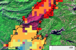
To test the utility of the cloud-based platform and apps in the analytics marketplace, the GCA program will look at problems at a variety of time scales. These include predicting food shortages in a region of the world (weeks to months), locating the construction of oil fracking sites (days to weeks), illegal fishing detection (minutes to days), and an open-call scenario where proposers may suggest other problems of military relevance.
A GCA Proposers Day will be held October 18, 2017, in Arlington, Virginia. Details are available here: https://go.usa.gov/xnxmA. The Broad Agency Announcement (BAA) solicitation for GCA is available here: https://go.usa.gov/xnaWN.