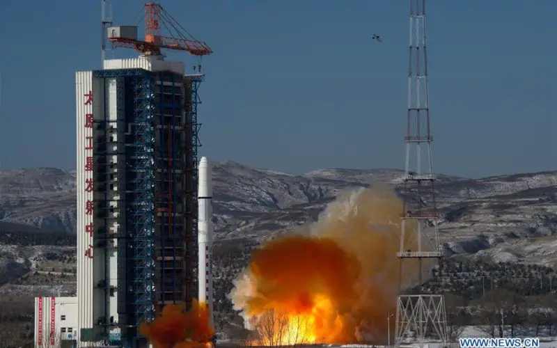
According to recent news reported by the Xinhua, China launches SuperView-1 03/04, a pair of 0.5-meter high-resolution remote sensing satellites, from the Taiyuan Satellite Launch Center in north China’s Shanxi Province, Jan. 9, 2018.
The satellites blasted off on the back of a Long March 2D rocket. The mission aims to promote the country’s commercial use of high-resolution remote sensing satellites.
The satellites are equipped with two 0.5m panchromatic and 2m multispectral, covering an area of 12km in diameter and are expected to offer remote sensing data to customers worldwide and provide services to land and resource surveys, mapping, environmental monitoring, finance and insurance as well as the Internet industry.
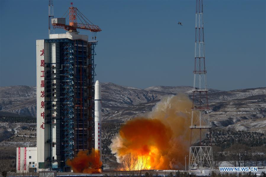
China launches SuperView-1 03/04, a pair of 0.5-meter high-resolution remote sensing satellites, from the Taiyuan Satellite Launch Center in north China’s Shanxi Province, Jan. 9, 2018. The satellites blasted off Tuesday on the back of a Long March 2D rocket. The mission aims to promote the country’s commercial use of high-resolution remote sensing satellites. The satellites, which are able to provide commercial images at 0.5-meter resolution, are expected to offer remote sensing data to customers worldwide and provide services to land and resource surveys, mapping, environmental monitoring, finance and insurance as well as the Internet industry. (Xinhua/Cao Yang)
The capacity of the new SuperView-1 satellites is similar to the first pair of satellites launched in December 2016 as part of the SuperView constellation.
The satellites will be owned and operated by China Siwei Surveying and Mapping Technology to provide data, which is expected to be used in various applications such as land source survey, mapping, and environmental monitoring and surveillance.
The 560kg spacecrafts were designed and manufactured by China Academy of Space Technology (CAST) and DFH Company.
Following completion, the SuperView constellation is set to have a total of 16 optical satellites, four higher resolution satellites, four synthetic aperture radar (SAR) satellites and a fleet of satellites with video and hyperspectral cameras.