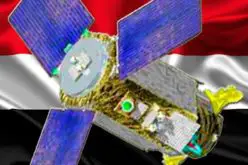
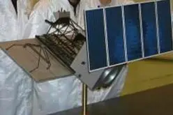
CBERS 4, Remote Sensing Satellite Jointly Developed by Brazil and China
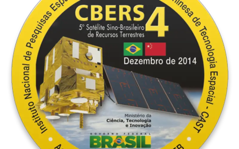
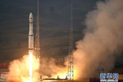
 CBERS 4, developed by the China Academy of Space Technology and Brazil’s National Institute for Space Research, the CBERS 4 was sent into Sun-synchronous orbit by a Long March 4B rocket from the Taiyuan Satellite Launch Center, in Shanxi province, in December 2014. The satellite is now fully operational since Tuesday.
The control of the CBERS 4 remote sensing satellite was handed over to the China Center for Resources Satellite Data and Application at a ceremony in Beijing.
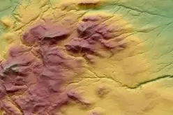
As a product of the China-Brazil Earth Resources Satellite Program, CBERS 4 has taken more than 200,000 images of the Earth with its four cutting-edge cameras, such as the infrared multispectral scanner and wide-field imager.
Images obtained by CBERS satellites have been used in many areas such as deforestation control and environmental monitoring in the Amazon region, according to Brazil’s National Institute for Space Research.
“We have given data and images obtained by the CBERS 4 remote sensing satellite to more than 10 developing countries, especially those in Africa, to help with their land resources exploration, forest protection, hydropower projects and disaster prevention,” said Tian Yulong, chief engineer of the State Administration of Science, Technology and Industry for National Defense, which oversees China’s space programs.
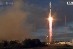
The program’s next satellite, CBERS 4A, is under development and is scheduled to be launched in 2018, the institute disclosed.
Valdemar Carneiro Leao, Brazil’s ambassador to China, said the CBERS program has become an icon of South-South cooperation and a landmark in Sino-Brazilian space collaboration.
Source: ECNS