
Webinars

Webinar: What’s New in ENVI 5.2
ENVI 5.2, is packed full of new features and functionality that will help you do more with your geospatial data than ever before. Join to learn how the newest version

Webinar: Python Capability in Geomatica 2014
On-demand Webinar – Python Capability in Geomatica 2014 Learn how to script your Geomatica image processing and combine it with other tasks in Python to streamline your data management

Webinar: The Role and Impact of Geospatial Information in the Big Data Arena
GeoConnections is pleased to invite you to a webinar on “The Role and Impact of Geospatial Information in the Big Data Arena” Tuesday, October 28, 2014 – 1:30-3:00 PM (Eastern Daylight
Webinar: Creating a BIM Deliverable from a Point Cloud
Proven Workflows: Creating a BIM Deliverable from a Point Cloud Free! – Webinar registration closes 1 hour prior to the live webinar. The on-demand version will be available for viewing within
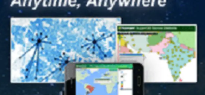
SuperGIS Webinar – Make Enterprise GIS Data & Service Available Anytime, Anywhere
SuperGIS Webinar – Make Enterprise GIS Data & Service Available Anytime, Anywhere Need to share large GIS data across the organization, and assign to field force for specific tasks? SuperGIS

URISA Connect Webinars & Virtual Education
URISA Connect is the virtual component of URISA’s educational offerings. Webinars that connect you to the cutting edge in technology and management lessons for the GIS industry are at your

Webinar: ArcGIS Platform for Forestry Planning & Management
GIS technology profoundly and positively impacts the way land managers, timber managers, and forestry specialists manage timber resources. Esri’s GIS software helps foresters and land managers meet the need of
Webinar: Integrated and Collaborative Geospatial Platform for Disaster Management
GIS provides an integrated platform for sharing data and applications for disaster management that supports all facets of Disaster Management including preparation, mitigation, response, recovery and rehabilitation. Find out how
SuperGIS Webinar.: Bring Field to Office by Smart Devices
SuperGIS Webinar: Bring Field to Office by Smart Devices Thursday, September 18th – 05:00 PM – 06:00 PM (Taipei Time, GMT+8) Wondering how on-site survey tasks and office GIS work can be well connected
Webinar: Smart City Solutions with Interactive 3D GIS Technologies
Smart City Solutions with Interactive 3D GIS Technologies Feeling not enough about traditional 2D maps? With SuperGIS 3D Earth Server, you can see different features and explore spatial relations on
