Webinars
Global Mapper Webinar: What’s New in Global Mapper v. 16.1
What’s New in Global Mapper v. 16.1 February 19, 2015 at 2:00 pm (EST) The Global Mapper webinar for the month of February introduces the latest enhancements and improvements to
NAPSG – Virtual Seminars on Learn Techniques for Efficient Public Safety Routing
Virtual Seminars on Learn Techniques for Efficient Public Safety Routing February 26, 2015 The National Alliance for Public Safety GIS Foundation (NAPSG) is a 501 (C) (3) not-for-profit organization
Webinar: Geographic Calculator 2015 & Global Mapper 16 – Creating Custom Geoid Models
Blue Marble Webinar: Geographic Calculator 2015 & Global Mapper 16 – Creating Custom Geoid Models No registration required, February 10, 2015 For our February session on Geographic Calculator, we
Exelis Webinar: Increase Agricultural Efficiencies Using Satellite Imagery
Exelis Webinar on Increase Agricultural Efficiencies Using Satellite Imagery February 5, 2015 As anyone living in a major drought region will tell you, water has become the new gold. Properly conserving and
Esri Training Seminar: Streamline GIS Workflows with ArcGIS Pro
Streamline GIS Workflows with ArcGIS Pro Thursday, January 29, 2015 Seminar Overview: ArcGIS Pro is a new desktop application included with ArcGIS 10.3 that is designed to help GIS professionals
SuperGeo Webinar: Top 10 Features SuperGIS Desktop
SuperGeo Webinar: 10 Most Useful Features of SuperGIS Desktop 5th February, 11:00 AM – 11:30 AM (India Standard Time) Are you looking for powerful and comprehensive GIS solutions? Something that may
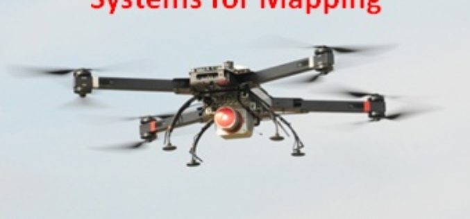
Webinar: Unmanned Aerial Systems for Mapping
Webinar: Unmanned Aerial Systems for Mapping January 15, 2015: 10:00 am to 11:00 am Unmanned Aerial Systems (UAS) or drones have garnered a lot of headlines recently. The term “drone”
3D Urban Modeling using Geomatica, CityEngine and 3D FeatureXtract
3D Urban Modeling using Geomatica, CityEngine and 3D FeatureXtract On-demand webinar: If you have access to high resolution stereo imagery over your area of interest, you can easily model 3D
Webinar: Geomatica 2014 and LiDAR for Accurate DEM Creation
Geomatica 2014 and LiDAR for Accurate DEM Creation On-demand webinar: Digital Elevation Models (DEMs) play an important role in terrain-related GIS applications. Chief among the many factors that affect the
Live Webinar: A Simple App to Track your Mobile Workers, Cut Costs and Boost Productivity
Webinar: A Simple App to Track your Mobile Workers, Cut Costs and Boost Productivity Tuesday, December 9th from 12-12:30 PM ET By knowing the location of your mobile workers, you


