
Videos
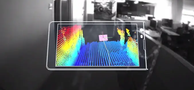
Say hello to Project Tango!
Project Tango is an exploration into giving mobile devices a human-scale understanding of space and motion. What if you never found yourself lost in a new building again? What if
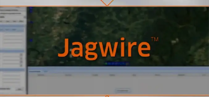
Exelis Jagwire to Support Real-time Full Motion Video Analysis
Jagwire is a web-based software that enables you to use satellite imagery, video, and other contextual geographic data to solve real-world problems.
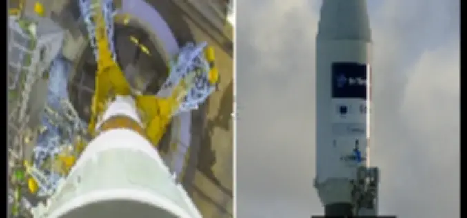
SENTINEL-1A Rides into Space on a Soyuz
Cameras mounted on the Soyuz Fregat upper stage that sent Sentinel-1A into space on 3 April 2014 captured this footage from liftoff to separation. The 2.3 tonne satellite lifted off
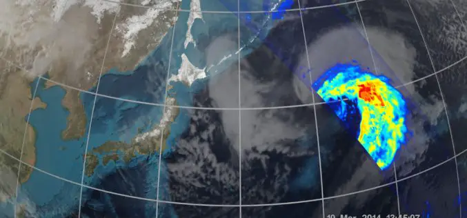
NASA | GPM’s Stormy New View
The GPM Core Observatory was the first of five planned Earth science launches for the agency in 2014. The joint NASA/JAXA mission will study rain and snow around the world,
What’s New and What’s Coming for the ArcGIS Developer
Here’s a video from the plenary session that describes what’s new for the developer, including new licensing, the GeoTrigger service, enhancements with support for 3D, updates about SDKs and much
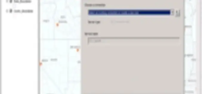
Publishing a Map Service with ArcGIS 10.1
This video is useful for anyone with interest in this topic.
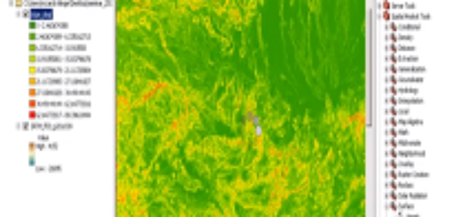
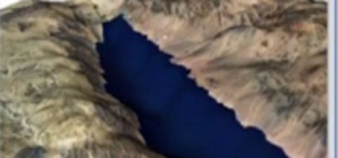
Analysis of Digital Elevation Model in ArcMAP
This is a how-to to demonstrate the creation of first and second order derivatives in ArcMAP using SRTM 3 data.
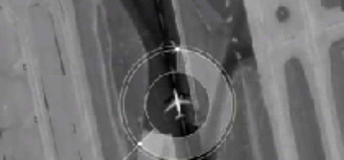
Looking Down from 600 km Above the Earth’s Surface with HD Video
Looking Down from 600 km Above the Earth’s Surface with HD Video – It will be possible to see the world is real time…By Skybox Imaging
3D Terrain Mapping
This video demonstrations a Silverlight web application rendering 3D terrain using Esri’s Silverlight SDK and Balder, a 3D graphics engine.
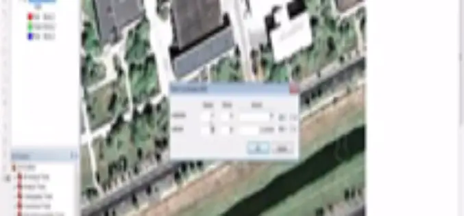
Georeferencing Google Earth images
This will help to understand how to Georeferencing Google Earth images.
