
Software

GRASS GIS 7.0.0 beta 1 is Released
What’s new in GRASS GIS 7.0.0 beta in a nutshell: The graphical user interface based on wxPython (introduced in GRASS GIS 6.4) has been enriched with many new features in
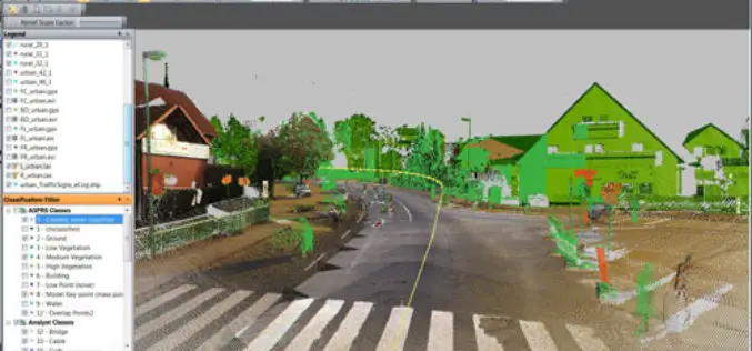
PR: Trimble Launches New Version of its eCognition Software for Advanced Geospatial Data Analysis
LOUISVILLE, Ky., March 28, 2014—Trimble (NASDAQ: TRMB) announced today the latest version of its eCognition® software for geospatial data analysis at the American Society for Photogrammetry and Remote Sensing (ASPRS)
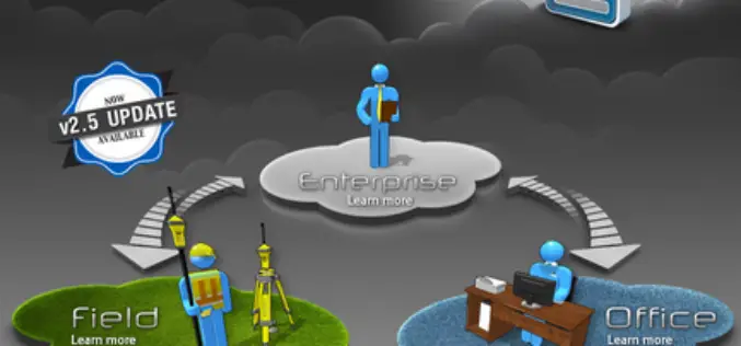
PR: Topcon MAGNET Field GIS Software Offers Cloud-Based Data Sharing Capability
LIVERMORE, Calif., USA/ CAPELLE A/D IJSSEL, The Netherlands – Tuesday, March 25, 2014, Topcon Positioning Group announces the release of the MAGNET® Field GIS software kit designed for efficient data collection,

Supergeo Partners with GPS P.L to Offer iOS-powered Mobile GIS Turnkey Solution
GPS.PL has nearly 2 decades experience in the field of GNSS and INS, covering diverse areas like sea, air, farming, forestry, ecology, and defense, field survey, etc. The provision of
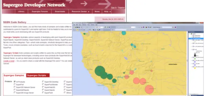
Supergeo Launches Rich Customization Samples of SuperGIS Desktop 3.2
Supergeo Technologies, a leading global provider of GIS software and solutions, released plentiful customization samples and technical resources of SuperGIS Desktop 3.2. GIS developers and programmers are empowered to build

Spatial Business Systems Announces SpatialBiz Plug-in for FME 2014
Latest release provides rich new functions and improved performance for GE Smallworld users Lakewood, CO – Spatial Business Systems (SBS) announces immediate availability of the 2014 SpatialBiz Plug-in. The SpatialBiz Plug-in
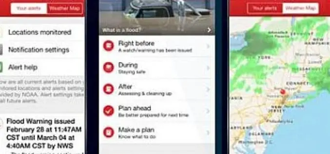
New Flood App Brings American Red Cross Safety Information to Mobile Devices
App’s audio flood and flash flood alerts can help save lives The American Red Cross today announced its new Flood App to help save lives and reduce losses from floods

Know Where You Are with Ordnance Survey’s New OS Locate App
Ordnance Survey’s latest iOS app is ideal for pinpointing the location for anyone exploring the great outdoors. OS Locate is free to download and is a fast and highly accurate

PR: 3D Vegetation Library Delivers Advanced Models for Urban Design and GIS Professionals
Esri and E-on Software Provide 3D Toolset for Planning, Geodesign, and Other Industries Redlands, California—Esri, the leading provider of GIS solutions, and e-on software, the leader in 3D immersive nature

PR: PolicyMap Releases New Mapping Tool for the Masses
Self-Service Web Tool Turns Open Data into Useable Data PolicyMap is putting data mapping tools in the hands of the masses with a new Web tool that launched today at www.policymap.com.
