
Software
‘GeoCannon’ On iOS Offers Players An Endless Augmented Geospatial Mobile Gaming Experience
Prague, Czech Republic, September 3 rd, 2014: Independent games developer AppTrixi is proud to announce the release of GeoCannon to selected iOS app stores. Currently available in Brazil, Canada, Czech Republic, Italy,

The Wait is Over: LizardTech Launches GeoGofer for Powerful Image Searching and Sorting
Now users can tag and organize geospatial imagery quickly and easily; integrates with Esri Technology LizardTech®, a provider of software solutions for managing and distributing geospatial content, has launched GeoGofer,
OSGeo-Live 8.0 Released
29 Aug 2014-Version 8.0 of the OSGeo-Live GIS software collection <http://live.osgeo.org/> has been released, featuring over 50 open source, standards compliant geospatial applications. Lubuntu 14.04.1 LTS We have moved from Xubuntu to
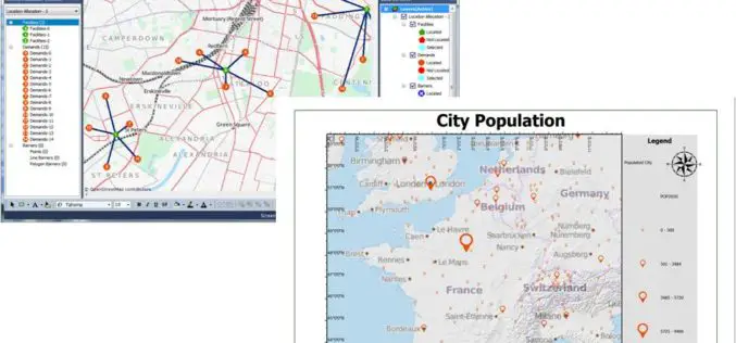
Latest SuperGIS Desktop 3.2 Enhances Map Display Performance and Analysis Functions
Developed by Supergeo, the latest Desktop GIS, SuperGIS Desktop 3.2 now provides users with a more powerful and comprehensive platform to display and edit GIS data by improving stability, accelerating
Supergeo to Release Forest Inventory App for Android Users
Forest Inventory App, an Android app designed for forest information collection, developed by Supergeo, will be released to provide forest investigators with a professional and handy tool for field survey
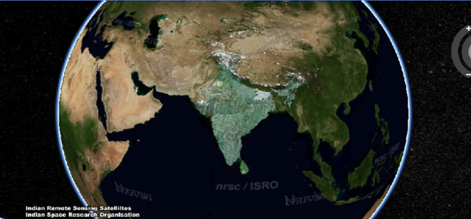
NRSC has Launched Plug-in Independent Bhuvan 3D
Bhuvan: A Gateway to Indian Earth Observation,is a web based software enabled application to explore earth in 2D and 3D. Bhuvan was developed by National Remote Sensing Centre (NRSC), Hyderabad, India. Bhuvan is
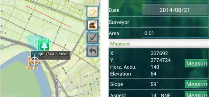
Mapping and Collecting Geospatial Data with SuperSurv 3.2 (iOS)
Supergeo Technologies Inc, the leading global provider of GIS software and solutions, announced that SuperSurv 3.2 (iOS), professional mobile GIS App, supports French user interface and Lebanese coordinate system. The

PCI Geomatics Releases Linux Versions of Geomatica 2014
RICHMOND HILL, Ontario, Canada—August 7, 2014: PCI Geomatics, a world leading developer of geo-imaging software and systems, today announces the release of three Linux versions of Geomatica 2014, the latest
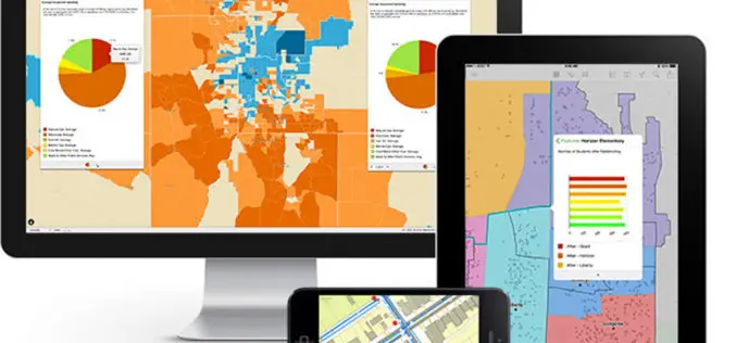
Explorer for ArcGIS Brings GIS to the Mac
Esri Releases First Native App for Apple OS X July 10, 2014, Redlands, California—Esri today released Explorer for ArcGIS on the Mac, a native OS X application to discover, view, and share maps.

Spymesat Mobile App Now Offers High Resolution Satellite Imagery
Orbit Logic announced today that the iPhone version of their SpyMeSat mobile app will now offer in-app purchase of recent high resolution satellite imagery. SpyMeSat users will be able to use their
