
Software
eCognition Essentials-Powerful Out-of-the-Box Land Cover Mapping Solution
eCognition Essentials is a new software solution for geospatial and remote sensing professionals performing land cover mapping tasks using imagery. eCognition Essentials offers an intuitive image analysis solution that allows users
OpenLayers 3-Cesium Open Source Release
A joint effort between Camptocamp, Boundlessgeo and Klokantech, allowed to start and release the first version of an Open Source community library with the goal to synchronize an OpenLayers 3

QGIS 2.6 Brighton Has Been Relaesaed
The new version of QGIS 2.6 has been released. QGIS is a free and open source geograaphic information system (GIS). The new version has come up with many
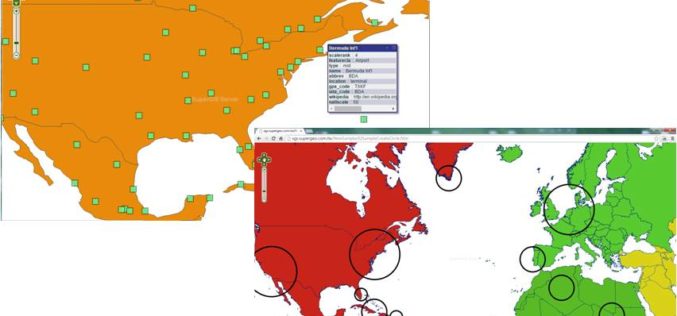
Various APIs in SuperGIS Server 3.2 Improve Customization Flexibility
Supergeo Technologies, the global leading GIS software and solution provider, releases rich JavaScript APIs (Application Programming Interface) to assist SuperGIS Server 3.2 users in customizing plentiful and intuitive map websites.

Facebook Debuts Location Based Safety Check Tool
In times of disaster or crisis, people turn to Facebook to check on loved ones and get updates. It is in these moments that communication is most critical

Visually Challenged Soon Have 3D Printed Maps
Recently in news, Japan’s cartographic authorities have announced that it has developed a software that allows users to download data from the internet and produce low cost geographical maps
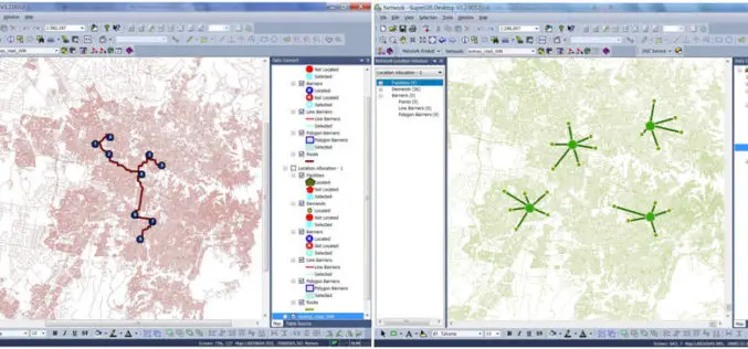
Supergeo Launches the Newest SuperGIS Network Analyst 3.2
Supergeo Technologies Inc., the global leading GIS software and solution provider, launches the newest SuperGIS Network Analyst 3.2 with stronger analysis performance and computing methods. SuperGIS Network Analyst 3.2 enables

Google Earth 8.0 for Android with 3D Imagery, Accurate Maps
Google has just announced a new update for the Google Earth app for Android. The new version is getting an update over the next week—with an enhanced 3D experience, quicker updates to the map,

NCTech Set To Transform Laser Scanning Market with HDR Point Cloud Colourisation Software
Scottish company launches world’s fastest automatic high resolution HDR point cloud colourisation Breakthrough technology will mean end for stitching, processing images and manually clicking placement points NCTech has launched ColourCloudTM,
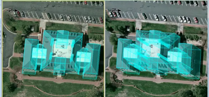
PCI Geomatics and IAVO-RS Announce Update to 3D FeatureXtract Software
PCI Geomatics, a world-leading developer of remote sensing and photogrammetric software and systems, announces with its partner IAVO, the release of 3D FeatureXtract (3DFE). By calculating feature heights and outlines
