
Remote Sensing
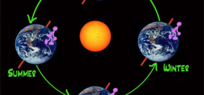
Northern Seasons are Shifting: Study
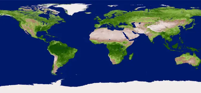
Scientists have discovered a shift in the northern seasons, with spring arriving early and autumn being delayed. Peter Atkinson, professor of geography at the University of Southampton, has examined satellite
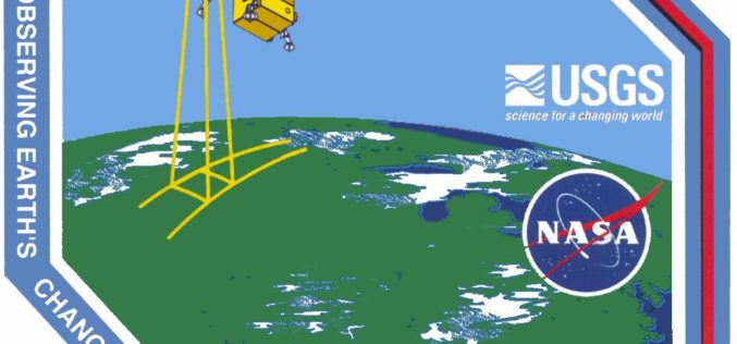
Upcoming Changes to Landsat Surface Reflectance Climate Data Records
Today I received an email from USGS as a notice of planned changes to the processing and output options of Landsat Surface Reflectance (SR) Climate Data Records (CDR). In the near
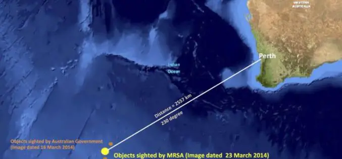
MRSA Satellite Image Analysis Show New Debris Field
In recent news, the images taken on March 23 by Airbus Defence and Space in France were analysed by the Malaysian Remote Sensing Agency, which was “able to identify 122 potential
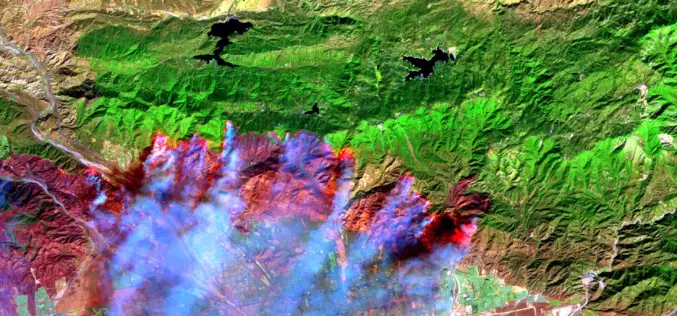
Satellite Images Reveals 2,500 hectares Forest Lost in Fire
In recent news, recent satellite image analysis of Bandipur and Nagarahole National Parks reveals that nearly 2,500 hectares of forest has been lost in a forest fire began over a week ago on

Out-Of-This-World Satellite Images Help Monitor The Environment
The new Centre for Applied Earth Observation will use images from satellites, aircraft, and the International Space Station to monitor globally important environmental issues such as changes in forestry activity
A Fleet of 100 Remote Sensing Satellites-Planet Labs
In recent news, Planet Labs is planning to launch a fleet of 100 satellites rockets from the United States and Russia over the next 12 months. This constellation will collect
Vegetation Indices
Vegetation Indices has proved to have an extremely wide (and growing) range of applications. It is used to monitor vegetation conditions and therefore provide early warning on droughts and famines.
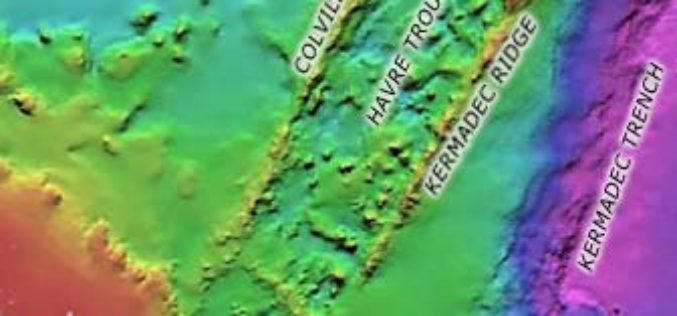
3D Imaging Revealed Submerged Ridge East of Auckland
In news, 3D imaging has revealed remarkable submerged mountainous Colville Ridge features in east of Auckland. Three-dimensional imaging shows mountainous ridge covered with jagged cones and with valleys that lie about 2km
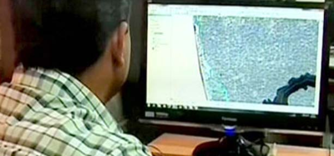
Remote Sensing to Demark Ecologically Sensitive Areas
Kollam: The process of demarcating inhabited areas in the 123 villages, which are Ecologically Sensitive Areas (ESAs) as per the Kasturirangan draft report, is halfway through. The State Remote Sensing
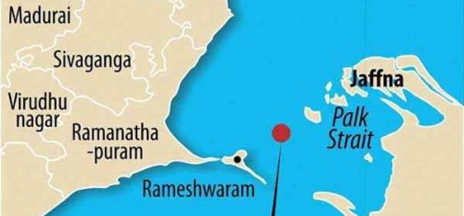
Katchatheevu was Geologically Linked to Indian Land Mass
The Centre has taken the controversial stand that Katchatheevu in the Palk Strait off Rameswaram coast in Tamil Nadu was never part of India, but a senior geologist and remote
