
Remote Sensing

India and US to Enhance Earth Understanding with NISAR Satellite Launch in Early 2024
In a landmark collaboration, India and the United States are set to launch NISAR, a joint microwave remote sensing satellite for Earth observation, in the first quarter of next year,

Chandrayaan 3 – Exploring the Moon’s Surface
Chandrayaan-3, India’s eagerly awaited lunar exploration mission, achieved a resounding success as it embarked on its journey to the Moon and flawlessly executed the landing of its lander named Vikram

Fathom Revolutionizes Flood Risk Intelligence With New US Flood Map
Global flood risk intelligence firm Fathom unveils the most complete and technologically advanced flood map for the US Fathom, a global leader in water risk intelligence, has released a new
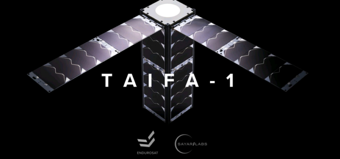
Kenya Teams Up with SpaceX to Launch Earth Observation Satellite Taifa-1
Kenya is set to make history by launching its first-ever Earth observation satellite Taifa-1 in collaboration with SpaceX. The East African country has been making significant strides in its space
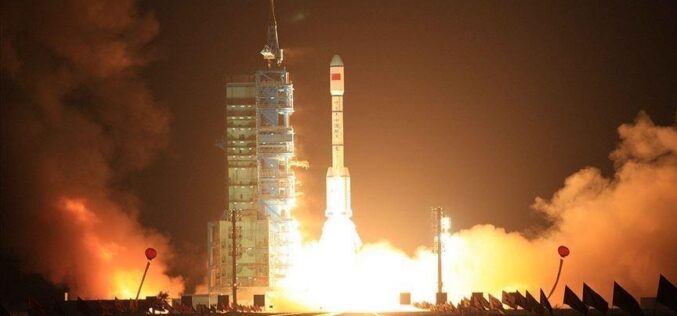
China Successfully Launched Yaogan 34-04 Remote Sensing Satellite
China has once again demonstrated its growing capabilities in space technology, as it successfully launched a remote-sensing satellite on Friday (March 31, 2023). The satellite, named Yaogan 34-04, was launched

National Shoreline Change Assessment Mapping for Indian Coast
The National Centre for Coastal Research (NCCR), an attached office of the Ministry of Earth Sciences, completed a national shoreline change assessment mapping for the Indian coast (including Odisha) using
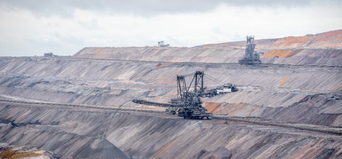
Observation of Landscape Changes in Coal Mining Areas using Satellite Image
Coal mining can significantly impact the landscape and surrounding environment, including changes in land use, vegetation cover, and water resources. Understanding these changes and monitoring them over time is crucial
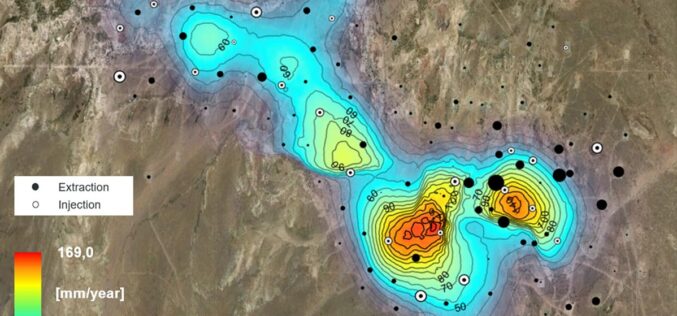
Effective usage of SAR data to monitor Oilfield Ground Displacement
Oilfields are essential to the world’s energy supply, and monitoring their stability is critical to ensure safe and sustainable production. One way to monitor oilfields is through Synthetic Aperture Radar
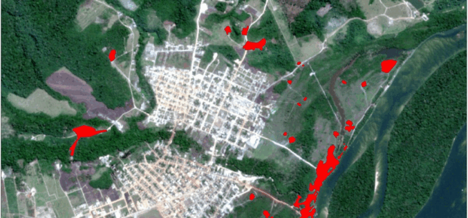
Analyzing Mining Influence on Brazilian Amazon Vegetation
The application of GIS and remote sensing in environmental protection in
analyzing mining influence on Brazilian Amazon vegetation.
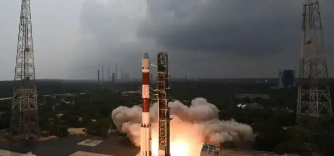
ISRO PSLV-C54/EOS-06 Mission is Accomplished
On November 26, 2022, ISRO completed the mission by successfully launching Eight Nano-satellites and the EOS-06 satellite by PSLV-C54. The mission’s primary goals are to maintain the operational applications by ensuring the data continuity of ocean colour and wind vector data. Additional datasets like Sea Surface
