
Business

Joint Venture, U.S. Geological Survey Join Forces
Partnership to Tackle Earth and Atmosphere Challenges to Silicon Valley Joint Venture Silicon Valley and the U.S. Geological Survey today jointly announced a partnership to address regional challenges from natural

Aerial Mapping Pioneer Bluesky Supports Clean Energy Campaign
Aerial mapping company Bluesky is backing a charity’s campaign to protect the subsidies for clean energy projects. Under recent Government proposals, changes to the Feed-in-Tariffs (FiTs) for wind, solar and

Esri’s ArcGIS Online Approved as a Grade 5-12 Learning Resource in British Columbia
Cloud-based mapping platform provides opportunities to develop students’ spatial & critical thinking If you’re an educator in British Columbia looking for a way to engage your students in various subjects

First Annual Commercial UAV Expo Gets Sky-High Marks from Industry Insiders
SPAR Point Group’s Commercial Drone Show Boasts 120 Exhibitors & 1,500 Attendees Commercial UAV Expo’s launch October 5-7, 2015 was lauded as a huge success for precision measurement professionals who
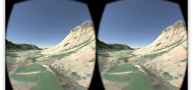
OS Data Gives Reality to a Virtual World
OS follows up its Minecraft map success to make a virtual Ben Nevis for Oculus and cardboard. The spectacular setting of Ben Nevis provides the backdrop for an Oculus Rift

Innovative Tools for Building Mapping Apps Take Center Stage at Esri DevSummit in Berlin
Highlights Include App Builders and Modernized APIs and SDKs Redlands, California—Developers from around the world will find the latest technology for building geoenabled apps on the ArcGIS platform at the
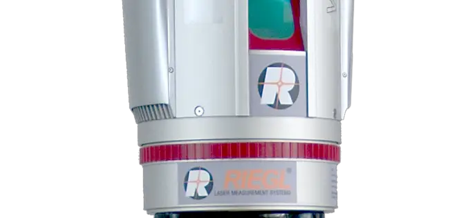
RIEGL is Attending and Sponsoring Conferences Worldwide!
This week, RIEGL is attending and sponsoring trade shows and conferences worldwide in China, Hong Kong, the Philippines, the United Kingdom, Germany, and the United Arab Emirates! ACRS 2015– The
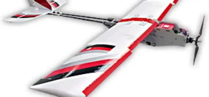
PrecisionHawk Joins the U.S. Department of Transportation and FAA in the Creation of a Safety Task Force for UAS
The task force will collaborate on the development of a streamlined registration process for Unmanned Aircraft Systems (UAS) PrecisionHawk has announced its contribution to a safety task force created by

Trimble to Provide Geospatial Software and Online Training for Post-Graduate Distance Learning Programs
Trimble to Provide Geospatial Software and Online Training for Post-Graduate Distance Learning Programs with UNIGIS International Supporting Continuing Education in Geographic Information Systems (GIS) SUNNYVALE, Calif.,Oct. 16, 2015- Trimble (NASDAQ: TRMB) and
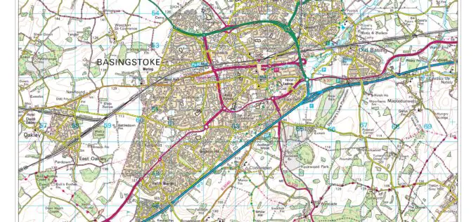
Digimap for Schools Launches 1950s Maps of Great Britain
Digimap for Schools now has a second historic map layer added to its popular online service, giving teachers and pupils direct access to Ordnance Survey mapping from three centuries. Covering the
