
GIS
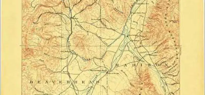
Discover the Northwest with Revised Montana Maps
Just in time to explore the great outdoors this summer, newly designed US Topo maps covering Montana are now available online for free download. US Topo maps now have a crisper,

GIS To Prepare Tribal Map of India: Orman
In recent news, Union Tribal Affairs Minister Jual Oram said his ministry is planning to information technology to closely monitor various tribal welfare plans and projects for development of tribal areas.

EagleView Technologies Announces Pictometry® CONNECTMobile™
(Bothell, Wash., June 3, 2014) – EagleView Technologies, Inc., a leading technology provider of aerial imagery, data analytics and GIS solutions, announces the launch of CONNECTMobile™. This latest mobile release
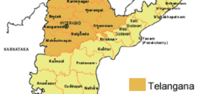
Telangana Official Map Yet to be Prepared
Telangana formally became the country’s 29th state today but it would take a while before it is reflected in the official geographical and political map as the Ministry of Home

SDMC & GeoSpatial Delhi Signed a MoU to provide UPIC
In recent news, South Delhi Municipal Corporation (SDMC) and GeoSpatial Delhi has signed a Memorandum of Understanding (MoU) to give Unique Property Identification Code (UPIC) to all properties in the

Philippines Government to do 3D Mapping in Disaster Mitigation
In recent news, as a part of the Disaster Risk Assessment, Exposure and Mitigation – Light Ranging and Detection Technology (DREAM-LiDAR) project, a collaboration between Department of Science and Technology
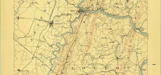
Revised North Dakota, Delaware and Maryland Maps Feature New Design
Newly designed US Topo maps covering North Dakota, Delaware and Maryland are now available online for free download US Topo maps now have a crisper, cleaner design – enhancing readability of
PR : Mapping Innovation Takes Center Stage at the Esri UC
May 22, 2014 Redlands, California—Geoenthusiasts from all over the world are preparing for the largest mapping and location event of the year, Esri User Conference (Esri UC), July 14–18 in San

Jakarta Fire Department Utilizes SuperPad to Secure Citizens and Properties
Supergeo Technologies, a leading global provider of GIS software and solutions, assists the Department of Building and Fire, Bekasi, Jakarta in enhancing citizens’ life through SuperPad, the professional GIS data
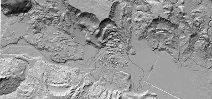
Meeting the Elevation Needs of the Nation
Nearly 25 state-specific fact sheets are now available to understand 3DEP applications Want to know how elevation will benefit your state? The USGS National Geospatial Program is advancing the 3D Elevation Program,

