
GIS

Enhanced Elevation Data for North and South America, Pacific Islands, Northern Europe
New Heights of Global Topographic Data Will Aid Climate Change Research The U.S. Geological Survey announced today that improved global topographic (elevation) data are now publicly available for North and

Autodesk Makes Design Software Free to Schools Worldwide
Design Software Leader Expands Reach of Free Education Offering to Prepare an Industry-ready Workforce Fulfilling its promise to expand access to its professional design software in education, Autodesk, Inc. (NASDAQ:ADSK)
USGS to Show Mountain Bike Trails on US Topo Maps
Get Your Wheels Spinning As part of the continued US Topo maps revision and improvement cycle, the USGS will be including mountain bike trails to upcoming quadrangles on a state-aligned

Government of South Australia Releases Geoscientific Data
The State Government has released a major package of geoscientific data in one of the State’s most underexplored provinces. Speaking today at the 8th annual Mining South Australia Conference in

Indian PM Announces Satellite for SAARC Nations
In recent news by Shanghai Daily , during the inaugural session of the 18th South Asian Association for Regional Cooperation (SAARC) in Kathmandu, Nepal, Indian Prime Minister Narendra Modi said the

DoT : GIS Mapping of Telecom Towers
According to recent news by Economic Times, Department of Telecommunications (DoT), Government of India, has asked the telecom service operators in the country to put 584,000 telecom towers on Geographic Information

Mapping of Multi-Hazard Coastal Vulnerability
Earth System Science Organization (ESSO) – Indian National Centre for Ocean Information Services (INCOIS), Hyderabad and ESSO-Integrated Coastal and Marine Area Management (ICMAM), Chennai have carried out mapping and demarcating of
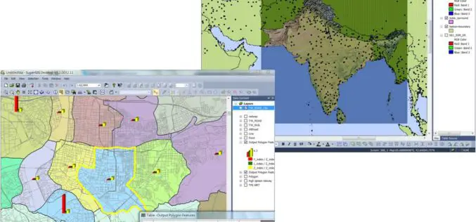
Supergeo Extends Free SuperGIS Desktop License Policy for Students
Supergeo Technologies, the leading GIS software provider, announced the extended policy of free SuperGIS Desktop 3.2 license for students. The universities, colleges and high schools that purchase SuperGIS Desktop Lab

ThinkGeo Releases Map Suite for Android, iOS and WebAPI
Frisco, TX — ThinkGeo is proud to announce the additions of Map Suite WebAPI , Map Suite for Android and iOS platforms to the Map Suite family of products. These

HERE Launches Predictive Traffic
Charlotte, N.C. – HERE, a leader in navigation, mapping and location experiences, today launched Predictive Traffic, a new traffic forecasting product that can anticipate future traffic conditions in real-time. HERE

