
GIS

India-US to Sign Basic Exchange and Cooperation Agreement for Geospatial Cooperation
In the third round of India-US two-plus dialogue both the countries agreed to sign the Basic Exchange and Cooperation Agreement for geospatial cooperation. The third round of ministerial dialogue is
Inclusion of Geospatial Subject in GATE and NET Exams
The All India Council of Technical Education (AICTE) has given approval on the inclusion of Geospatial subject GATE and NET examinations. The AICTE has taken the move on the recommendation
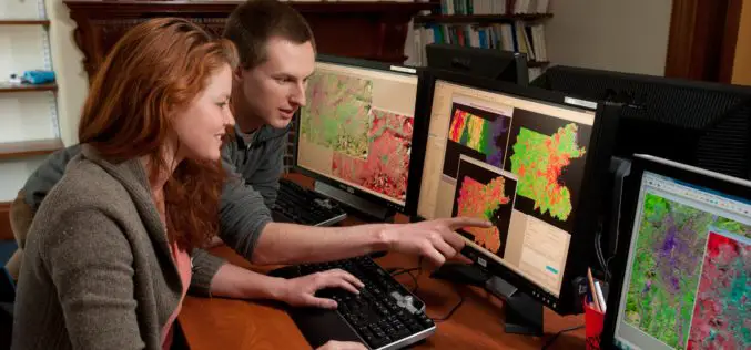
A Career in GIS
Increasingly, GIS careers have evolved to beyond just having people who only have technical roles, as highlighted by Adam Carnow, community evangelist at ESRI, in the Mapscaping Podcast.

National GIS-enabled Land Bank System to Boost Investments
The Government of India has launched a national GIS-enabled land bank which will facilitates the potential investors to locate and identify the land banks from the comfort of the office.

Mangaluru Smart City has gone Live, What does it mean for Residents?
Mangaluru Smart City already using the Integrated Command and Control Center as a war room for the administrators to combat COVID-19 pandemic.
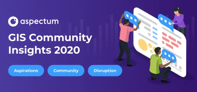
Mandatory Coding Skills are Named a Major Pain Point of GIS Specialists: Aspectum has Published GIS Community Survey
Aspectum, a cloud service for data analytics, has published the findings of its research on the overall situation in the GIS industry. The GIS Community Survey has become the
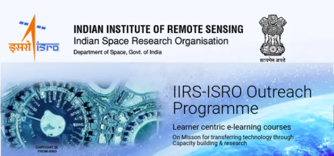
Register for IIRS Online Courses on Remote Sensing, GIS & GNSS Applications
About IIRS The Indian Institute of Remote Sensing (IIRS) foundation, is a constituent unit of Indian Space Research Organization (ISRO), Department of Space, Govt. of India. Since its foundation in
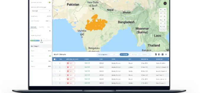
Geospatial Technology to Map Spread of COVID-19 and to Minimize Its Impact on Business
Aimed at helping Corporates and Government take statistically driven and swifter business decisions, Transerve Online Stack is providing relevant datasets generated by Interactive maps. 21st May 2020, New Delhi/Goa, India:
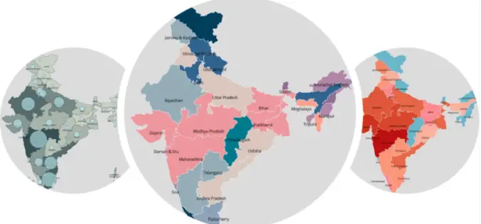
India Geospatial Stack to Enable Scientific Mapping of Resources
Contributed by – From the 14% at the time of independence to almost 32% according to the 2011 Census, urban settlements in India have witnessed a rapid population growth –
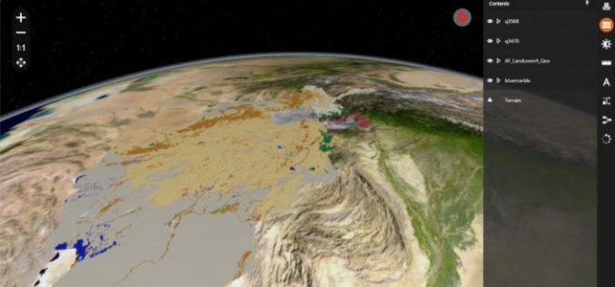
Hexagon Geospatial Releases M.App X 2020 Update 1 – Cloud-based Enterprise Solution for Imagery Intelligence
Hexagon Geospatial has recently released M.App X 2020 Update 1 with great new features. The major version of M.App X 2020 was released late in January 2020. M.App X is a

