
GIS

FEMA Release Guidelines for Coastal Flood Hazard Analysis and Mapping
The U.S. Federal Emergency Management Agency has issued Guidelines for Coastal Flood Hazard Analysis and Mapping for the Pacific Coast of the United States. FEMA’s mission is to support citizens and
EPA has Launched Environmental Mapping Tool
United States Environmental Protection Agency (EPA) has launched a new environmental justice (EJ) mapping and screening tool called EJSCREEN. It is based on nationally consistent data and an approach that

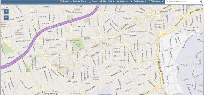
Michigan Launch Portal for Free Geospatial Data
State of Michigan has launched a portal for citizens to access and download free geospatial data about their state. The data is available for government, business and public use, with
FOSS4G Europe Annonce Conference Program
The second edition of the FOSS4G Europe Conference will be held at Politecnico di Milano in Como, Italy, from July 15th to 17th, 2015. A day of workshops will precede
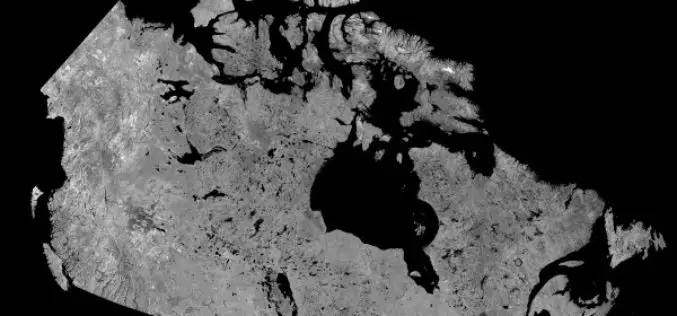
Download Free RADARSAT Data of Canada
Canada’s RADARSAT-1 is a radar satellite and was launched in November 1995. It carries a Synthetic Aperture Radar (SAR), it acquired images of the Earth day or night, in all

3D Mapping of Heritage Monuments for Tourism Promotion
According to recent news from ToI, the tourism department of Telangana state is going for 3D mapping of heritage monuments and buildings of city. Hyderabad city has many heritage monuments

Leica Introduce Leica Pegasus: Backpack Industry First Wearable Reality Capture
Leica Geosystems announced the commercial availability of Leica Pegasus: Backpack this week at HxGN LIVE. Leica Pegasus: Backpack is first of its kind in geospatial industry. It comes with a

Belarus and India to Cooperate in Development of Earth Observation Technology
According to recent news by BeITA, Belarus and India are going to start a joint program for the development of earth observation technology. The news service reported that in 2015,
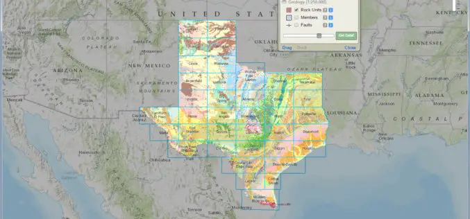
Interactive Geologic Map of Texas Now Available Online
Do you know where to find extinct volcanoes or where the dinosaurs once roamed in Texas? Can you find where unconventional oil and gas formations are present at the land

SimActive Provides Integrated LiDAR and Photo Solution to Altoa
SimActive Inc., a world-leading developer of photogrammetry software, is pleased to announce the purchase of its Correlator3D™ software by Altoa from French Guiana. The software will be used to process

