
GIS

Satisfying the New GIS Learner During COVID-19 And Beyond
The pandemic has jolted the educational paradigm and there are some overdue changes being wrestled with to meet student needs.

Dewa and Dubai Municipality Sing MoU on developing a Geolocation Infrastructure Project in Dubai
Dubai Electricity and Water Authority (Dewa) has signed a Memorandum of Understanding (MoU) with Dubai Municipality to cooperate on developing geolocation infrastructure project in Dubai.
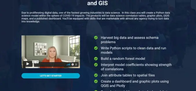
Launch of New GIS and Data Science Course on Bootcamp GIS
A course that teaches Data Science in a pandemic usecase The pandemic has forced the world to deal with a plethora of health, financial, and social problems. One of them

Benefits of GIS for STEM Education
Geographic information systems can come in handy during STEM (science, technology, engineering, and mathematics) classes if they involve spatial science. GIS can help STEM students…
India Liberalizes Guidelines for Acquiring and Producing Geospatial Data and Geospatial Data Services Including Maps
A long-waited wish of geospatial professional full-filled when the Department of Science and Technology (DST) has opened access to its geospatial data and services, including maps, for all Indian entities.
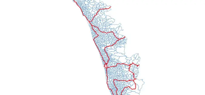
OSM Kerala Community Releases Local Body Boundary Map of Kerala
Recently OSM Kerala Community has released a free Local Body boundary map of Kerala. The data have map boundaries added for Corporations, Municipalities, and Gram Panchayat. As part of Kerala
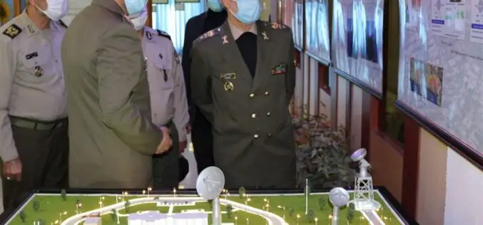
Iranian Defense Ministry Unveils Military Geographic Products
Tehran – The Iranian Defense Ministry unveiled new products and systems related to geographic data and information for military purposes. In a ceremony held in Tehran on Monday morning, Defense
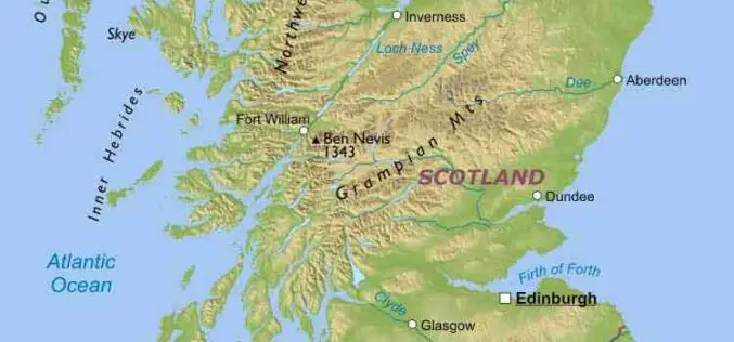
UK Geospatial Commission is Working to Establish Scottish Geospatial Network Integrator
The recent news published on the UK Government website says that the UK Geospatial Commission is working with Scottish Enterprise and the Scottish Government to establish a Geospatial Network Integrator
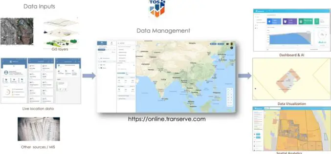
Geospatial Sewerage Surveillance System to Detect Early Warning for Covid
Transerve has introduced a ‘Geospatial Sewerage Surveillance’ model which offers community-based group testing with routine monitoring of sewage as a non-invasive early warning tool.

Big Data for Effective Decision Making – A Talk with Ashwani Rawat, Co-Founder & Director of Transerve Technologies
Transerve Technologies Pvt Ltd is a technology leader in the field of location-intelligence for effective decision making. Having been acknowledged as a top emerging and innovative company by NASSCOM and Deloitte,

