
GIS
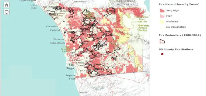
San Diego County Launch Web Based Wildfire Hazard Map Tool
Fire is a constant threat in San Diego County, and drought, high temperatures in the summer and fall, combined with seasonal Santa Ana winds can led to explosive fire growth.
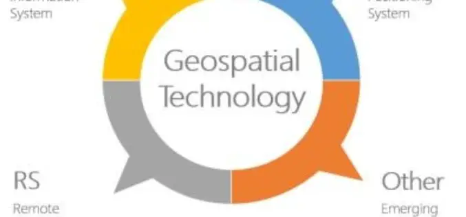
Geospatial Technologies Picking Up Greater Momentum
With the advancement in Remote Sensing and development in Geographic Information System and Global Positioning System, the applications of Geospatial Technologies in various fields have picked up greater momentum, a
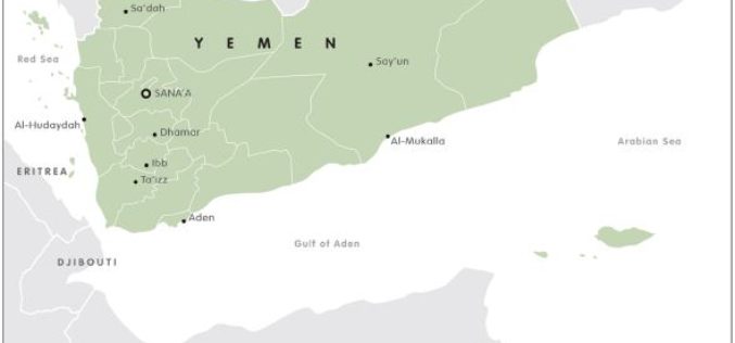
Mapping Yemen Turmoil
The European Council on Foreign Relations has recently a report on the Yemen conflict. Rather than being a single conflict, the unrest in Yemen is a mosaic of multifaceted political,

Call for Papers – The 2nd International Conference on GISTAM 2016
The International Conference on Geographical Information Systems Theory, Applications and Management aims at creating a meeting point of researchers and practitioners that address new challenges in geospatial data sensing, observation,
FGDC Releases ISO Geospatial Metadata Editors Registry
The Federal Geographic Data Committee (FGDC) has released the ISO Geospatial Metadata Editors Registry application to share information across the NSDI community about tools that can be used to create ISO compliant metadata.

FOSS4G 2015 Seoul – Ends Successful
This year’s FOSS4G 2015 Seoul was unique in several aspects. First, this was the first time international FOSS4G in Asia. For last 10 years FOSS4G has travelled all around the world
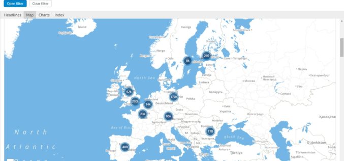
Mapping Europe’s Startup Business
The European Commission has recently announced the launch of a dynamic mapping project to map the scale of the startup ecosystem across Europe. This platform is being developed as part of Startup Europe to

Real Time World Air Quality Mapping
Recently, aqicn.org has published Air Quality mapping information system in real-time for over 70 countries. The data is continuously collected, gathered and processed in real-time from more than 5900 feeds. Only
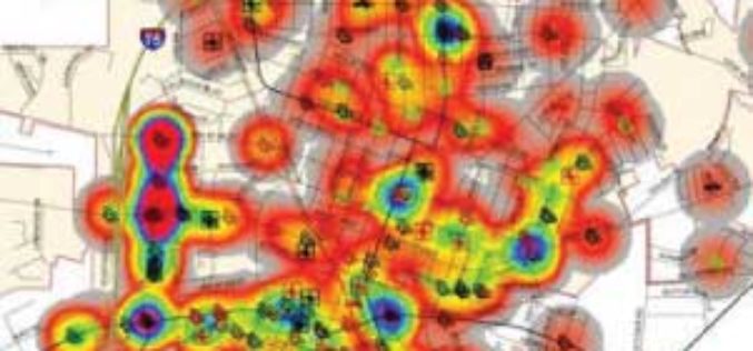
Crime Mapping to Analyze and Device Anti-Crime Measures
The Nagpur city police has moved for crime mapping and taking shape by decisions based upon the analytical deductions made on the basis of crime mapping techniques. Crime mapping is
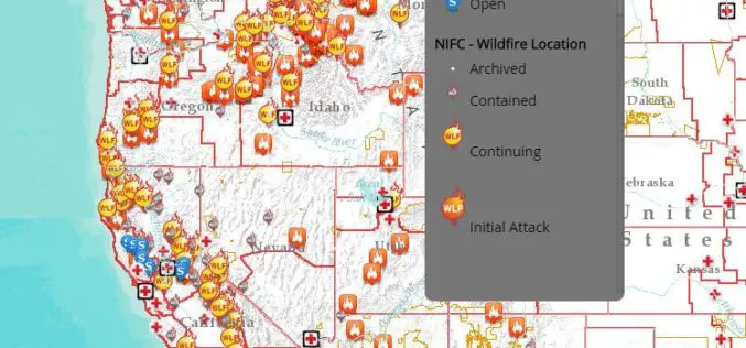
Interactive Tool to Access and Track Live, Wildfire Information
Free, Public Tool Consolidates Information to Provide Up-to-Date Disaster Snapshot WASHINGTON, D.C., Thursday, Sept. 17, 2015 — The American Red Cross has launched an interactive online map that consolidates multiple

