
GIS
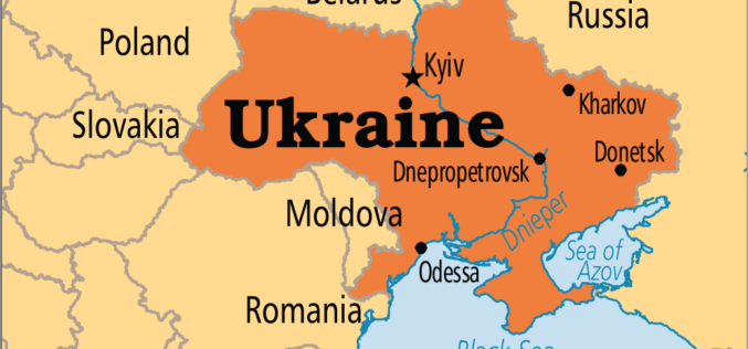
Japan to Provide Grant of $ 3 Million to Help Create National Infrastructure for Geospatial Data of Ukraine
In recent news by Ukraine News Agency, Japan International Cooperation Agency (JICA) will provide $ 3 million to realize a pilot project as part of the creation of the national

Escape the Obvious With the Ordnance Survey Graduate Scheme
Ordnance Survey graduate recruitment scheme for 2016 has launched, offering graduates the opportunity to lead the way on developing innovative and inspirational solutions for digital data. Ordnance Survey is looking for talented,
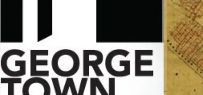
Protecting Cultural Heritage with Smart Mapping Technology
Penang’s rich colonial heritage and globally recognised architecture have been transformed into a virtual smart map Malaysia – George Town World Heritage Incorporated (GTWHI) with their mission to preserve, protect

High Resolution Satellite Imaging to Locate Village Where Parasites Causing Permanent Blindness
In an achievement by Sara Amirazodi, a junior majoring in Earth system science (ESS), University of Alabama in Huntsville was awarded by one of three $1,000 scholarships presented to DEVELOP
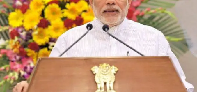
Geospatial Technology to Assist Centre in ‘Housing for All’ Mission
New Delhi, Housing and Urban Poverty Alleviation Ministry has joined hands with National Remote Sensing Center, Hyderabad, for use of latest technologies in its Housing for All urban mission, on the
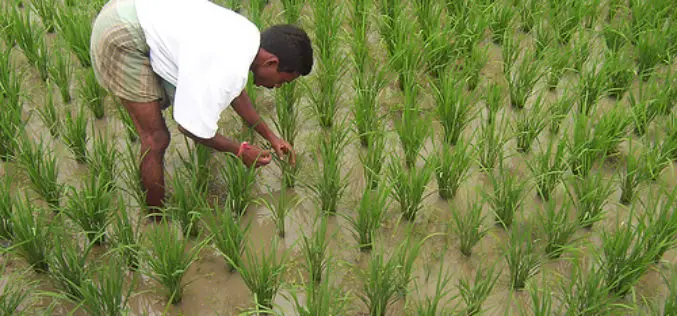
Indian Government Unveils Kisan Project; Hailstorm App to Assess Crop Damage
To fasten payment of crop insurance claims to farmers, the Centre on Monday launched a pilot programme Kisan, which will use satellite and drone-based imaging and other geospatial technology to
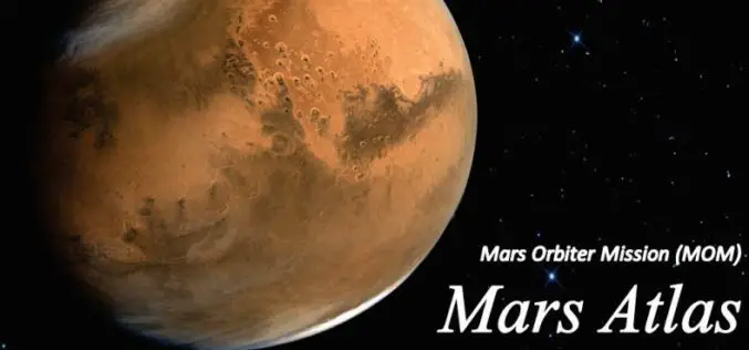
Mars Orbiter Mission – One year of Success: Release of Mars Atlas
Mars Orbiter spacecraft marks one year of its life around the red planet on Sep. 24, 2014. It was launched on Nov. 05, 2013 by the Indian Space Research Organisation

Satellite Mapping of National Highways
In recent news by Business Standard, the National Highways Authority of India (NHAI) is planning to sign a memorandum of understanding (MoU) with the Indian Space Research Organisation (ISRO) to adopt
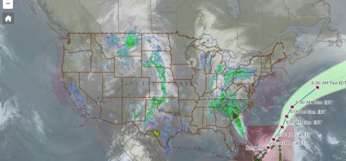
nowCOAST – a Web Mapping Portal to Real-Time Coastal Observations, Forecasts, and Warnings
With Hurricane Joaquin approaching the eastern coast of the United States, anyone looking for reliable NOAA weather mapping services can use the recently launched updated version of NOAA/National Ocean Service’s nowCOAST, a

Manipur Government Using GIS to Boost Handloom Industry
Manipur Commerce and Industries minister Govindas Konthoujam has distributed Rs 2.6 lakh each to 11 handloom clusters of Bishnupur district. The amount is distributed as the first instalment of the

