
GIS
MYGEOSS – Third Call for Innovative Apps in The Environmental and Social Domains
MYGEOSS is launching an open call for the development of innovative applications (mobile or web-based) using openly available or crowd-generated data in different domains addressing citizens’ needs. The pool of
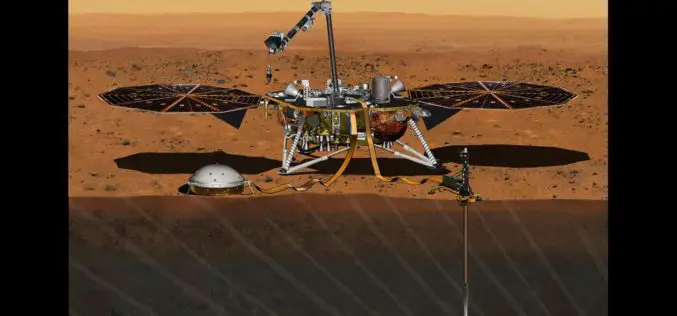
InSight Mission’s Journey to Mars Set For 2018
In December 2015, the Mars mission InSight was put on hold, but it has now been provisionally scheduled to launch to the Red Planet at the next opportunity – in

Uttar Pradesh Police to Launch a Web-based Crime Mapping System
Uttar Pradesh Police will launch a web-based crime mapping system on April 1 for “preventive policing” in the state, under which information of all cases registered in last five years
Chandigarh Administration to Prepare GIS-based Master Plan for Land Development
According to recent news by The Tribune, the Department of Urban Planning of the Chandigarh Administration planning to prepare the city’s master plan using the geographical information system (GIS). The
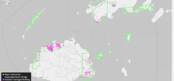
DigitalGlobe Providing Rapid Assessment of Cyclone Damage for Government of Fiji
WESTMINSTER, Colo.–(BUSINESS WIRE)–Mar. 7, 2016– DigitalGlobe, Inc. (NYSE: DGI), the global leader in earth imagery and information about our changing planet, is delivering crowdsourced damage assessments derived from satellite imagery
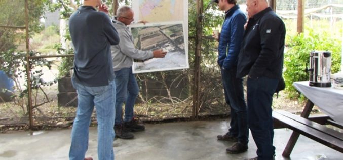
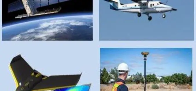
US Forestry Service Shares Remote Sensing Technology with Isreal
Recently USFS representatives visited Israel to share remote sensing technology with their Keren Kayemeth LeIsrael Jewish National Fund (KKL-JNF) counterparts. “Remote sensing technology opens up doors for us in fields
MDDA Ready for Drone To Detect Encroachment
Dehradun: Mussoorie Dehradun Development Authority (MDDA) is set to conduct a 15-day trial of a drone to monitor illegal constructions and encroachments from March 8, which will help staff to
2nd Call for Expression of Interest ‘Quantifying Risk and Recovery of Disasters’
The European Commission has launched the second call for expression of interest for a limited number of risk and recovery activations through its Copernicus Emergency Management Service for Risk &

Google Joins UNICEF To Combat Zika Virus
Google has joined the United Nations Children’s Emergency Fund (UNICEF) to help map the Zika virus spread to anticipate and prevent future outbreaks using open source. The recent Zika virus outbreak
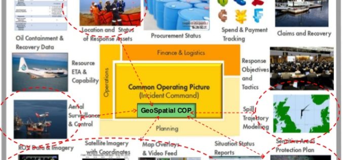
OGC announces Oil Spill Response Common Operating Picture Recommended Practice
02 March 2016: The Open Geospatial Consortium (OGC®) announces that the International Association of Oil & Gas Producers (IOGP) through the Geomatics Committee and IPIECA (the global oil and gas
