
GIS
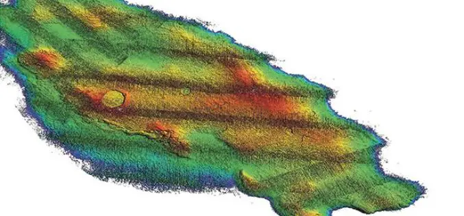
3D Map Tools Launched for Maltese Islands
According to recent news by the Times of Malta, Cloudisle – a series of baseline 3D maps of Malta that will serve as the base for research in cross-thematic fields –
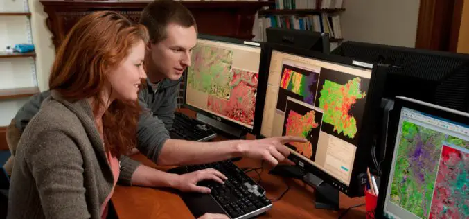
FICCI Report Highlights Importance of Geospatial Technologies in India
A report released by the Federation of Indian Chambers of Commerce and Industry (FICCI) suggested that the need-based pull for usage of geospatial tools and data has begun. From the
Gender Data in GIS Helps Reduces Climate Change Impacts
New Delhi, India – Gender in Geographic Information System (GIS), though new, plays a significant role in helping disaster risk management, and reducing environmental and climate change impacts in vulnerable

Geospatial Information and Technology Association (GITA ) 2017 Scholarship Program
Geospatial Information and Technology Association (GITA ) is involved in professional education activities throughout the year generate funds which are used to award scholarships to deserving students. These scholarships are

Leveraging 3D Modeling and Printing Skills as a Service: Mapping the Abbey of Chateliers and Church of Ars-en-Ré
In order to explore how to better expand and improve their services, French photography and photogrammetry-based service provider Unautregard teamed up with Planète Sports &Loisirs and 3D Arcwest, to capture,
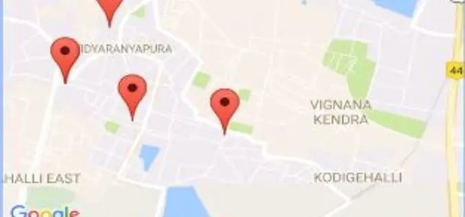
Karnataka State Health Department Launches GIS App to Help Accident Victims
Bengaluru – According to recent news reported by The New Indian Express, Karnataka State the Health Department has unveil an app called Nearby Services. The app is launched under the
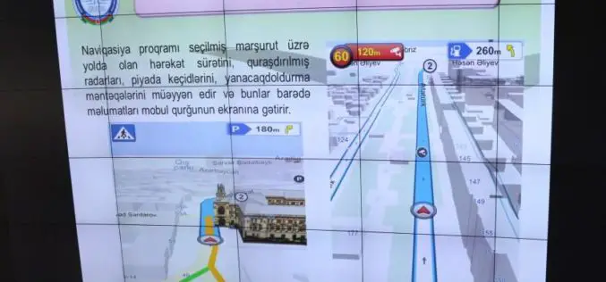
Azerbaijan Launches First National Navigation System – AzNav
According to recent news reported by the AZERNEWS, Azerbaijan has recently launched its first national navigation system “AzNav” by the Center for Information Technology and Information Management of the State Committee on

In Defense of Desktop: Why Desktop is Essential for Drone Mapping in Agriculture
Part 1: How quickly can you go from landing to processing? If you want an NDVI map while you’re still in the field, cut out a potentially long upload to

Smart City Projects Should Talk About Solutions to Natural Calamities
According to recent news by the Moneycontrol, The Earth Sciences Ministry’s ex-secretary Shailesh Nayak, has said that at a time when earthquakes happen frequently and temperatures are reaching extremes, the government’s
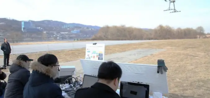
South Korea Government Using Drones to Map Hazardous Areas
According to recent news by Korea Bizwire – On Tuesday, the Ministry of Land, Infrastructure and Transport demonstrated its latest 3D-mapping technology that makes use of drones, at the Han River
