
GIS

GIS to Locate Exact Electricity Snag in India
In a recent news, New Okhla Industrial Development Authority (hereinafter referred to as “NOIDA” or “the Authority”) in India has moved to insure better facilities to its electricity consumers. The Noida Discom

California’s Gateway Cities Launch Sophisticated GIS Planning Web Tool
The 28 municipalities in the Gateway Cities Council of Governments in southeastern Los Angeles County have teamed up to launch a groundbreaking new website, GatewayCOGSiteProspector.org, to attract businesses and jobs. Using
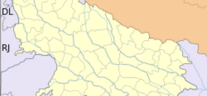
GIS to Modernize Irrigation System in Uttar Pradesh
In recent news Uttar Pradesh Government has launched second phase of the UP Water Sector Restructuring Project. The World Bank is funding the project with an interest free loan

Fighting floods with GIS -based emergency response system
The New South Wales State Emergency Services (NSW) will have a new weapon this flood season after rolling out a high-tech mapping system that allows volunteers on the ground to

SuperGIS Desktop 3.1a Helps Civil Construction Work and Financing Projects in Lima, Peru
Supergeo Technologies, a leading global provider of complete GIS mapping software and solutions, announced that INVERMET, Peru, employed SuperGIS Desktop 3.1a to produce and manage integrated spatial data and analyses

Discover Best Xmas Holidays Spot with Esri #BestXmasEver Map
Put your holiday tweet on the map with Esri Story Maps. Esri publishes story maps to showcase interesting and important topics for map-based storytelling and to help enable people to

Esri CityEngine 2013 Brings Powerful Modeling to Your Favorite 3D Applications
Esri has released CityEngine 2013, the latest version of its 3D urban design software. A new software developer kit (SDK) enables CityEngine procedural modeling technology to be used in

e-governance: A Call for Greater Emphasis
Smart Cities Council opens India Chapter on December 12, 2013. Smart Cities Council, an industry coalition to advance smart city development and innovation are opening a new regional chapter

Sparton’s Improved Navigation Systems for Unmanned Vehicles and Weapons
The Sparton Corp. Navigation and Exploration segment in De Leon Springs, Fla., has introduced the GEDC-6E improved gyro attitude and heading measurement system and the DC-4E enhanced tilt attitude

Auto-rickshaws in Chennai to be fitted with GPS meter
In a first-of-its-kind development in the country, auto-rickshaws in Chennai will be fitted with a meter with global positioning system (GPS), electronic digital printer and panic buttons for
