
GIS Data

Free GIS Data – Transport and Communications Data
Free GIS Data – Transport and Communications Data Transport and Communications Data Open Flights: Airport, airline and route data across the globe. Data is provided as CSV files which

Free GIS Data – Buildings, Roads and Points of Interest Data
Free GIS Data – Buildings, Roads and Points of Interest Data Buildings, Roads and Points of Interest Data OpenStreetMap: Crowd-sourced data for the whole world consisting of most things

Free GIS Data – Population Data
Free GIS Data – Population Data Population Data Gridded Population of the World: Includes raw population, population density, both historic, current and predicted. Global Rural-Urban Mapping Project: Based on
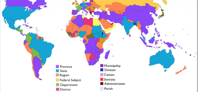
Free GIS Data – Administrative Boundaries Data
Free GIS Data – Administrative Boundaries Data Administrative Boundaries Data Natural Earth: Includes countries, disputed areas, first-order admin (departments, states etc), populated places, urban polygons, parks and protected areas

Free GIS Data – Wars, Conflict and Crime Data
Free GIS Data – Wars, Conflict and Crime Data Wars, Conflict and Crime Data ACLED: Armed Conflict Location and Event Data – containing all reported conflict events in
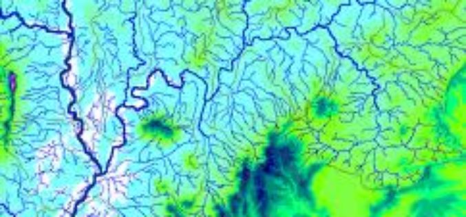
Free GIS Data -Hydrology Data
Free GIS Data -Hydrology Data Hydrology Data HydroSHEDS: Hydrological data and maps based on the STRM elevation data. Includes river networks, watershed boundaries, drainage directions and flow accumulations for
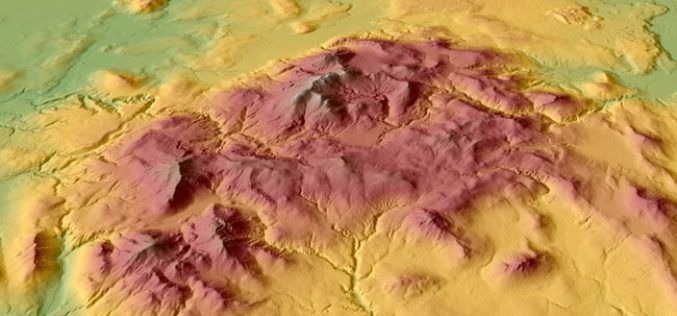
Free GIS Data – Elevation/ DEM/ DTM Data
Free GIS Data – Elevation/ DEM/ DTM Data Elevation/ DEM/ DTM Data GDEM: 30m resolution global elevation data derived from ASTER satellite images SRTM: Approx 90m (3 arc-second) resolution
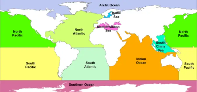
Free GIS Data – Land and Ocean Boundaries Data
Free GIS Data – Land and Ocean Boundaries Data Land and Ocean Boundaries Data GSHHS: A Global Self-consistent, Hierarchical, High-resolution Shoreline Database – which basically means it’s
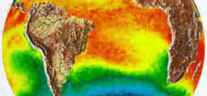
Free GIS Data – Weather and Climate Data
Free GIS Data – Weather and Climate Data Weather and Climate Data WorldClim: Climate data for past, present and predicted future conditions. Includes temperature (min, max, mean) and
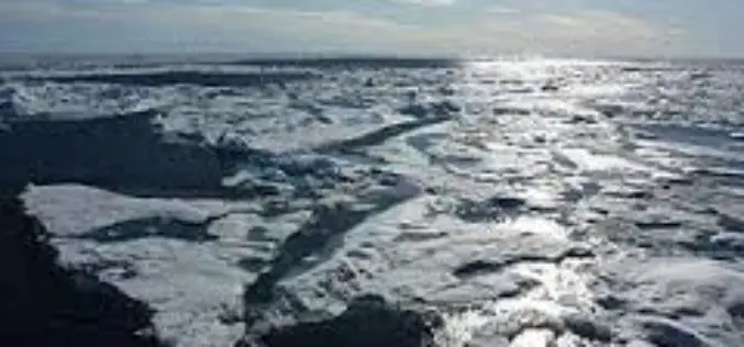
Free GIS Data – Snow/Ice, Lakes, Oceans and other Water Sources Data
Free GIS Data – Snow/Ice, Lakes, Oceans and other Water Sources Data Snow/Ice, Lakes, Oceans and other Water Sources Data Randolph Glacier Inventory: A global inventory of glacier outlines, including

