
Geo Events
Esri India Young Scholar Contest (2022) for Indian Scholar to Showcase GIS Project
Esri India is hosting an open contest for Indian Young Scholars 2022, to identify the one who will be able to showcase a GIS Project in front of a live
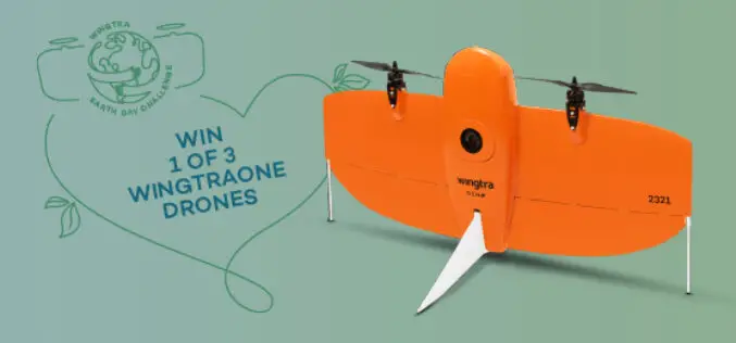
Give Away! 3 WingtraOne Drones for Projects that would contribute to the Good of the World
If you are someone inspired to complete a project that would contribute to the good of the world, here is your chance to win a WingtraOne GEN II drone. Wingtra
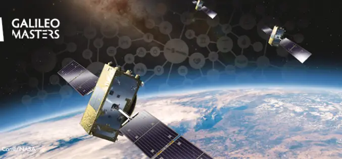
Galileo Masters Competition Inviting Cutting-Edge Solutions Using Satellite Navigation Data
The Galileo Masters is the global innovation competition that encourages and supports technological advancements, driven by Satellite Navigation data into successful society-oriented applications. The fundamental mission of this competition is

SPAR 3D Expo & Conference – International Event for Commercial 3D Sensing, 3D Processing, and 3D Visualization Tools
SPAR 3D Expo & Conference, presented by SPAR 3D.com and co-located with AEC Next, is an international event for the commercial application of 3D technologies from input to output. For
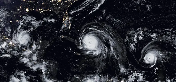
NASA ARSET Training: Monitoring Tropical Storms for Emergency Preparedness
Monitoring Tropical Storms for Emergency Preparedness Thursday, May 3, 2018 to Thursday, May 10, 2018 09:00 – 11:00 and 18:00 – 20:00 EDT (UTC-4) Tropical storms have major impacts, including loss of
4th Farming by Satellite Prize Competition is Open!
Registration for the 4th Farming by Satellite Prize was officially opened at the conference “Agriculture: a new frontier for the European space policy” in the European Parliament on March 6.
Airbus Global Earth Observation Challenge
Global Earth Observation Challenge Come up with new business ideas based on Satellite Data! You are a driven start-up ready to take on a challenge that uses the best technology
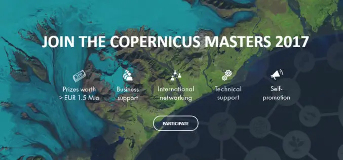
The Copernicus Masters Competition Countdown is On! Sign Up by 30 June
Earth Observation (EO) and big data possess a huge potential for the creation of innovative products and services. Many industries and areas of public interest benefit from the constant development

InterDrone 2017 – The International Drone Conference and Exposition
InterDrone 2017 – The International Drone Conference and Exposition September 6-8 in Las Vegas After an impressive show last year (3,518 delegates from 54 nations and rave reviews) InterDrone returns
INTERGEO SMART CITY SOLUTIONS: SMART CITY SOLUTIONS – Laboratory Solutions for the City of the Future
Cities are the vibrant hubs at the heart of our society. They are the source of many pioneering developments. They are the laboratories of the future – a place for
