Bulgaria and Macedonia Agreed to Exchange Cartographic and Geodetic Data
According to recent news reported by novini.com, the Republic of Bulgaria and Republic of Macedonia have agreed to exchange geodetic, cartographic, and cadastral data.
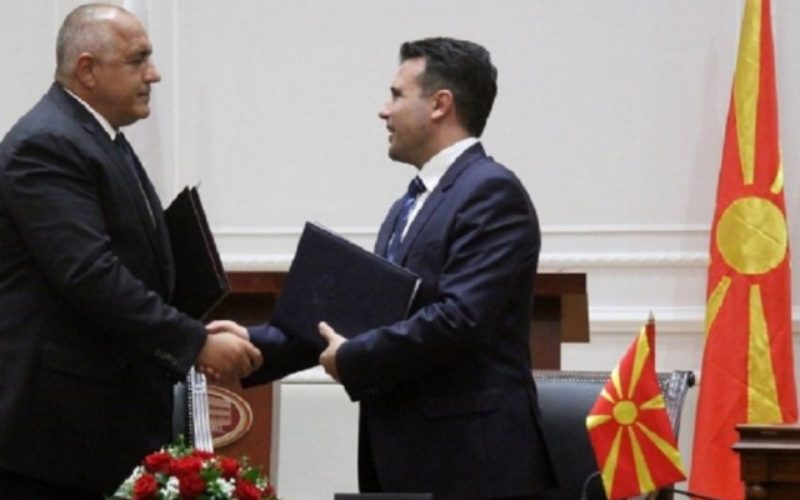
The Memorandum of Cooperation (MoC) was signed on November 23, 2017, for ten years, between the Bulgarian Agency for Geodesy, Cartography and Cadastre and the Real Estate CadastreAgency of the Republic of Macedonia.

Credit: novinite.com
The event was held in the town of Strumica in the framework of the first joint meeting of the governments of the two countries. The exchange of cadastral information, especially for the border areas, sees as a step to improve the land relations in both countries and will also to help to implement a number of economic projects in both the countries.
Both counties also agreed on conditions for connection of the geodetic networks and elevation systems, which shall have a positive effect on geodetic data and geospatial communities.
The document also foresees the realization of joint regional projects of common interest funded by the European Union funds.