Credit: BELTA News Agency
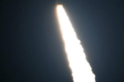
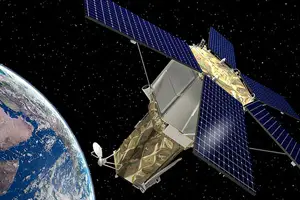
The Russian corporation VNIIEM and the National Academy of Sciences of Belarus (NASB) signed an agreement on developing and operating a satellite for the high-resolution remote sensing of the Earth. The document was signed during the international aviation and space salon MAKS 2015, BelTA learned from the press service of the Russian space agency Roscosmos.
The document was signed by VNIIEM Director General Leonid Makridenko and Piotr Vityaz, NASB Chief of Staff. The new satellite is called BKA 2.
Earlier Belarus and Russia have created the joint ground infrastructure to control the Belarusian satellite BKA and the Russian satellite Canopus B as well as the system to receive and process the data they send.
Categories:
Remote Sensing