As reported in BELTA News Agency, in a statement made by Chairman of the Presidium of the National Academy of Sciences of Belarus (NASB) Vladimir Gusakov as he met with Igor Komarov, head of the Russian space agency Roscosmos on 23 June:
“Today we are going to discuss the creation of a new satellite for the remote sensing of the Earth. It should be created in 2-3 years at most because the old satellite’s service life will end at that time.”
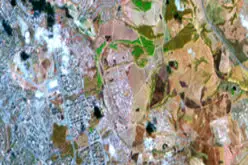
“The new satellite will boast higher image resolution — less than one meter — while the present satellite’s resolution stands at two meters. It means that the satellite’s imagery will be more precise. And we believe that it will be used not only for domestic purposes,” remarked the official.
The satellite imagery will be used commercially in Belarus and abroad. In Belarus new satellite imagery will be used by number of Ministries for various applications such as agriculture monitoring, natural resources management, flood mapping and monitoring etc.


