
Posts From GIS Resources

Supergeo Establish User Network with Evolving Geosystems in UAE
Supergeo Technologies, a leading global provider of GIS software and solutions, announces the official reseller agreement with Evolving Geosystems Technologies (EGT) to keep providing high-quality total SuperGIS solutions in UAE.
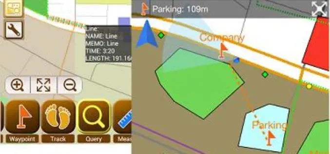
Smart Mapping SuperSurv Available on App Store and Google Play Now
Supergeo Technologies, a leading global provider of GIS software and solutions, launches SuperSurv, the mobile GIS app, on the App Store and Google Play.Containing comprehensive GIS data collection functions, SuperSurv

PR: Bulgarian Ports Infrastructure Company Implements Hexagon Geospatial Technology to Enhance Shipping
May 06, 2014 GeoMedia® WebMap and GeoMedia® Play Key Role in Visualizing Port Data Norcross, Ga. (PRWEB) May 06, 2014 Hexagon Geospatial announces that the Bulgarian Ports Infrastructure Company is

Election Commission of Pakistan to Use GIS
In recent news by The Express Tribune, The Election Commission of Pakistan (ECP) has come up with an ambitious and strategic plan for the next five years. The plan (Second
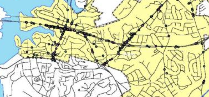
Mapping Accidents Spots Across Bangalore
In recent news, the Indian Institute of Science in association with Bangalore Traffic Police has come up with mapping of accident spots in Bangalore city. The project “Mapping of all

NOAA webinar: Introduction to Geospatial Metadata – Tools for ISO Metadata
This course presents the concept, principles, and value of metadata utilizing the International Organization for Standardization (ISO) metadata. It provides the content and structure of the IS0 191** series metadata

Kazakhstan’s EO Satellite KazEOSat-1 Launched Successfully
Kazakhstan first ever remote sensing or earth observation satellite, KazEOSat-1,was to launched from Kourou, The Space Centre of French Guinea on April 29, 2014. But was postponed due to weather

TerraGo Workgroups Brings the Power of GeoPDF® to Small Organizations and Teams
Company launches TerraGo Workgroups to bring GeoPDF collaboration capabilities to ArcGIS® customers with flexible, cost-effective subscriptions that meet their unique requirements. Washington, D.C. – April 28, 2014 – TerraGo announces the

Framework Contract for Supply of Satellite Remote Sensing Data, JRC, EC
Framework Contract for Supply of Satellite Remote Sensing Data, JRC, EC JRC/BRU/2012/H.6/0010/RC The purpose of this contract is to supply satellite data from the very latest sensors and products. The
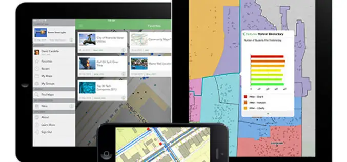
Explorer for ArcGIS Brings GIS to Everyone
Mobile App Simplifies Discovery, Visualization, and Sharing of Maps Redlands, California—Esri recently released the definitive GIS app for everyone to access and share maps on their smartphone and tablet. Called
