An eye in the sky is all set to make waves in the fishing industry. A project that uses data from a remote-sensing satellite to identify potential fishing zones (PFZS) has shown encouraging results and if adopted, could dramatically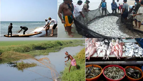 improve the lot of small-scale fishermen.
‘The fisheries research together with the technological advancement has accelerated the process to know the resource beneath the water. With the result the marine fish production has made great leaps through successive stages. India’s future fisheries development plans are aimed at increasing fish production, improving the welfare of fishing community, promoting exports and providing food security. The characteristic tropical species diversity is rich in Indian marine fisheries. There are nearly 2,500 species of finfishes and shellfishes known from our seas.. Our capture fisheries progressively increased from about 0.6 million t in 1950 to 2.67 million t in 1998, showing an average annual growth of 6.4% over this period. With commissioning of OCEANSAT in 1999, which provides the real-time satellite picture of ocean color (chlorophyll_a) and along with SST brings to identify the aggregation fish.
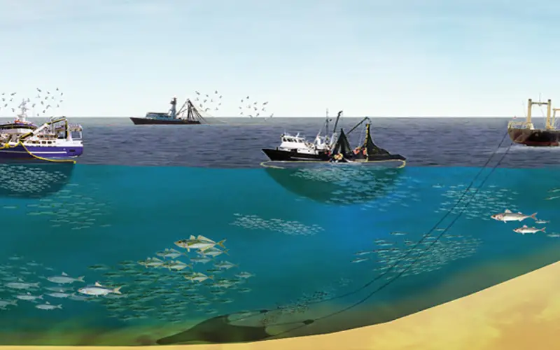
Identification of potential fishing zones including the availability type and quantity of fish has been one of the main pre-requisite for economical fishing activity.
Ministry of Earth Sciences, Department of Space and several institutions under the Ministry of Agriculture have been on an endeavour, for over a decade, jointly with the State Governments of the marine states and islands, to provide Potential Fishing Zone (PFZ) Advisories generated using Sea Surface Temperature and Chlorophyll to the Indian Fishing Community.
The project is designed primarily to help fishermen using catamarans. At present, the data available only forecasts the presence of fish near the sea’s surface, not very helpful to mechanised trawlers which catch deep-sea fish and prawns.
Features such as oceanic fronts, Meandering Patterns, Eddies, Rings, Up welling areas, etc. that are proven to be prospective sites for fish accumulation are identified from Sea Surface Temperature generated using NOAA-AVHRR Satellite data. The availability of Chlorophyll from OCEANSAT and MODIS has enriched these advisories in recent years. PFZ Advisories have become a significant input from the Science and Technology Sector to the Fishing Community to increase catch per unit effort.
According to the Tamil Nadu Fisheries Department, the PFZS forecasts have proved most effective in some districts in the state. Fishermen have reported yield increasing five-fold on an average, and in some cases by as much as 10 times.
Source: