
Search Results for "kashi"
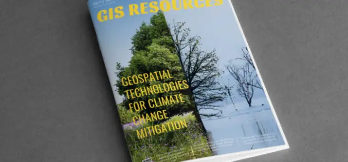
GIS Resources Magazine (Issue 3 | September 2023): Geospatial Technologies for Climate Change Mitigation
GIS Resources is pleased to announce the publication of its 3rd edition (September 2023) of the print and digital magazine. The edition is titled “Geospatial Technologies for Climate Change Mitigation.” Amid
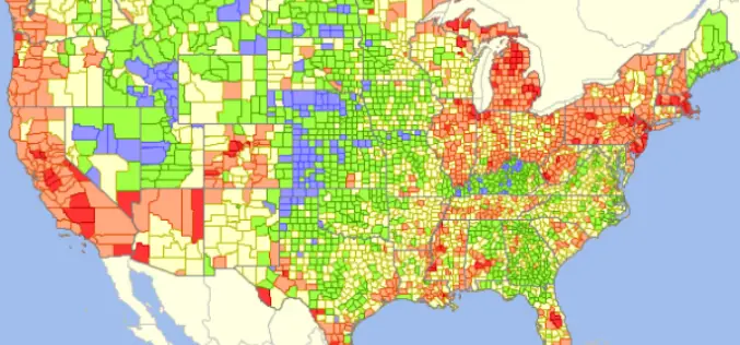
GIS Analytics Server of U.S. Federal Statistical Data
The Visual Data Analytics (VDA) Mapserver is a web-based, interactive mapping and geospatial analysis resource for U.S. Federal statistical data that is developed from the TatukGIS Developer Kernel for ASP.NET
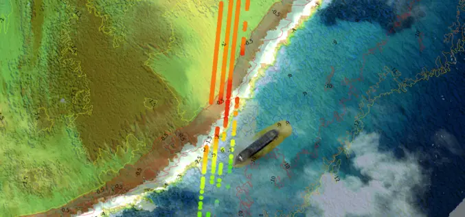
TCarta Develops AI-Based Commercial Bathymetric Mapping Technologies with National Science Foundation Grant
First Commercial Use of ICESat-2 TCarta Marine, a global provider of hydrospatial products, has announced development of new Machine Learning-based bathymetric mapping technologies – including creation of two software packages

Trimble and Komatsu Collaborate to Improve Interoperability for Mixed Fleet Earthworks Customers
SUNNYVALE, Calif., July 14, 2017—Trimble (NASDAQ:TRMB) and Komatsu Ltd. announced today that they are collaborating to improve their customers’ ability to exchange 3D construction site data between Komatsu and Trimble

Varanasi the Spiritual Capital of India – a Journey Through Esri Story Map
Contributed By:- Varanasi (Kashi or Banaras) is a city in the northern Indian state of Uttar Pradesh dating to the 11th century B.C. Regarded as the spiritual capital of India,

