
Archive

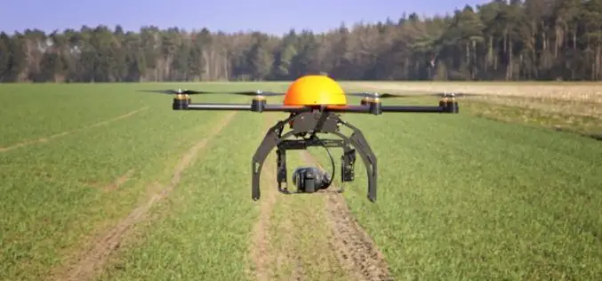
SimActive for Mining: Drones & Volume Calculation
SimActive Inc. is proud to announce new features to improve volumetric calculation. Correlator3D™ now has integrated tools for users to generate precise statistics on mining activities. Our clients often require
Essential Tips for Passing Microsoft Certification Exams
When it comes to taking an exam, you must understand that there are techniques and approaches that will significantly improve your chances of success in the test. Many people think
India Approved Guidelines to Use of Drones Under a Legal Framework
New Delhi, India – Directorate General of Central Aviation has announced India’s policy on the use of drones. The government has permitted commercial flying of drones from December 1, 2018.
Siemens and Bentley Systems Strengthen Their Strategic Alliance and Joint Investment Initiatives
Successful strategic alliance with Bentley Systems, which started in 2016, to be further expanded Joint investment initiative extended by an additional €50 million, totaling €100 million Ambition to further accelerate
HawkEye 360 Introduces Strategic Partner Program and Announces Eagle Technology as the Strategic Partner for New Zealand
The Strategic Partner Program marks an important milestone as HawkEye 360 continues to build a global presence, with Eagle Technology serving as a Strategic Partner bringing HawkEye 360’s radio frequency

Swift Navigation Announces Full BeiDou and Galileo Support for Piksi Multi
Firmware Release 2.0 Makes Swift’s Centimeter-Accurate GNSS Technology Feature Complete, Supporting All Major Global Satellite Constellations San Francisco, CA—August 21, 2018—Swift Navigation, a San Francisco-based tech firm building centimeter-accurate GNSS
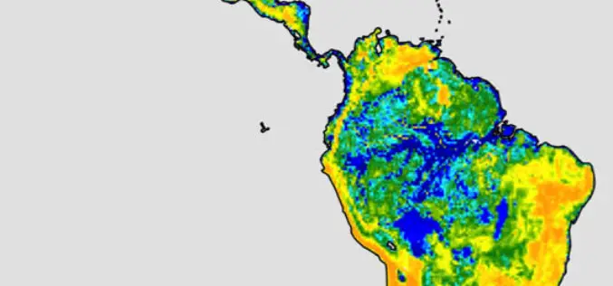
SwRI Investigates New Techniques To Estimate Groundwater Recharge
August 22, 2018 — Southwest Research Institute scientists are investigating using the latest remote-sensing technology to assess groundwater recharge more accurately. This information is critical for water resource managers, especially
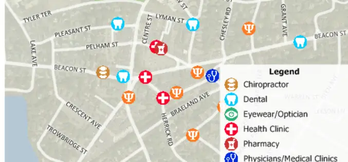
Free Healthcare Data for Use with Maptitude 2018 Mapping Software
NEWTON, MASSACHUSETTS (USA) – Caliper is excited to announce the release of free updated healthcare map layers. We are providing over 5 million medical and healthcare provider points-of-interest. These locations can
UrtheCast and Land O’Lakes, Inc. Announce Term Sheet for Purchase of Geosys
Acquisition will create a unique, fully integrated imagery data and geoanalytics solution in the agribusiness industry. VANCOUVER, August 14, 2018 — UrtheCast Corp. (TSX: UR) (“UrtheCast”) and Land O’Lakes, Inc.

Airbus Defence and Space selected by Telesat to further develop the design of its LEO satellite constellation
Toulouse, 3 August 2018 – Airbus Defence and Space has been selected by Telesat as a major industrial partner to support their System Design and Risk Management phase for Telesat’s LEO
